|
||||||
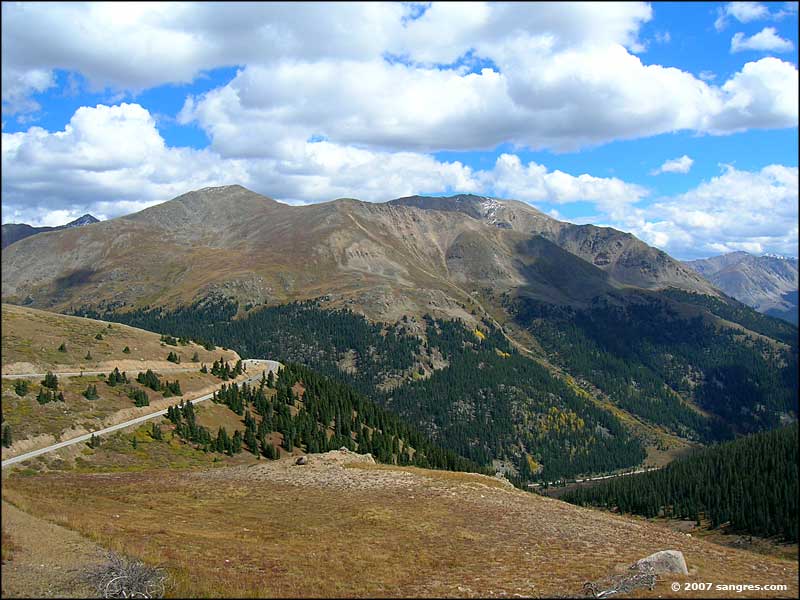
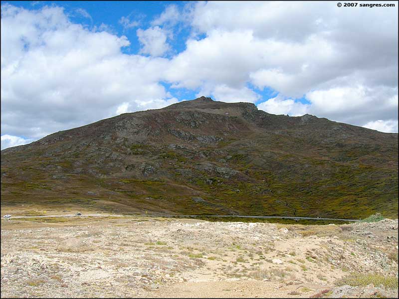
Independence Pass, The Summit |
||||||
|
|
||||||
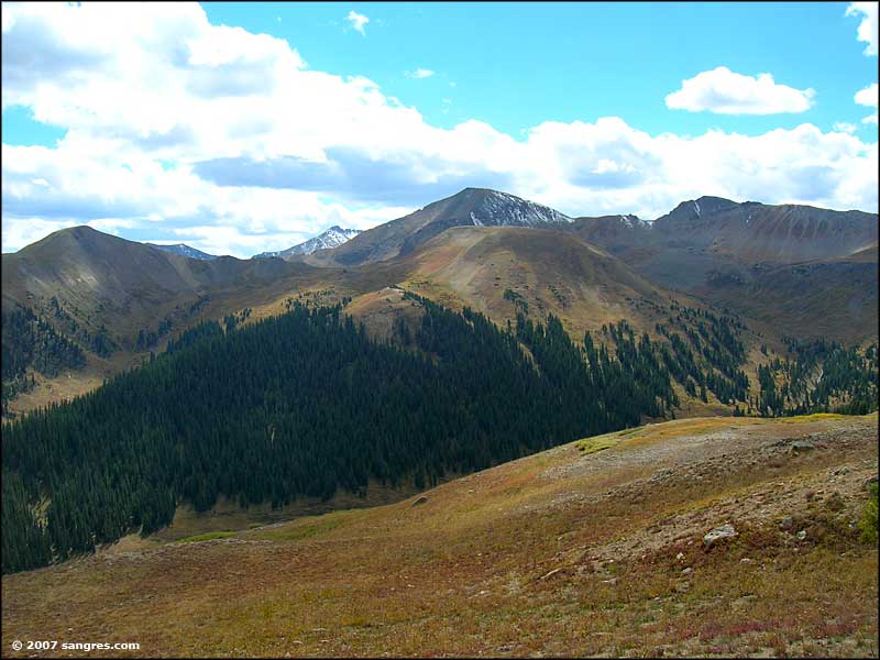
 Looking southwest, at the summit of Independence Pass |
||||||
|
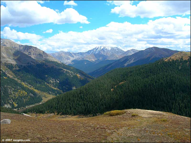
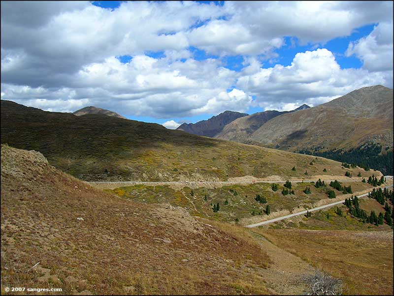
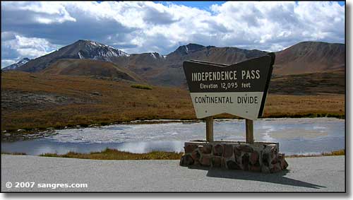
Independence Pass crosses the Sawatch Mountains between Twin Lakes and Aspen. The eastern side has 3 big switchbacks but the road is good, 2 lane, paved. The western side, the descent into Aspen, has a couple of stretches of one lane dirt. Portions of the road are a bit tight for most of the RV's travelling through. And meeting one of these in a one lane section is exciting. At the top of the pass is an overview area with lots of parking. With the views up here, the place gets a lot of traffic. The hike around the overview is worth the effort, besides, you'll sleep really good after doing it. Independence Pass is directly on the Continental Divide and if you take a look around at the summit, you'll see Mount Champion, Mount Oklahoma, French Mountain, Casco Peak, La Plata Peak, Star Mountain, Ouray Peak, Grizzly Peak, Independence Mountain, and Green Mountain. Mt. Elbert and Mt. Massive are very close by but are hidden by other mountain peaks in between. The road itself travels between the Collegiate Peaks Wilderness to the south and the Hunter-Fryingpan Wilderness to the north. East of the Pass is the San Isabel National Forest. West of the Pass is the White River National Forest. This road is closed usually from November to May. |
||||||
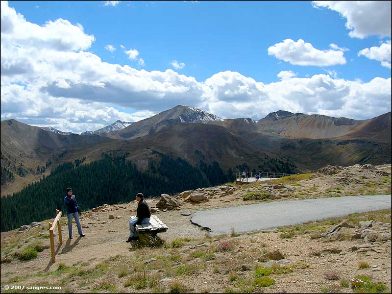
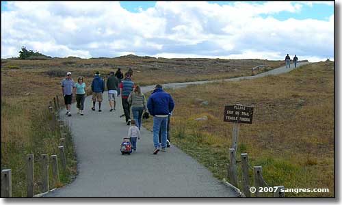 On the path to the overlook 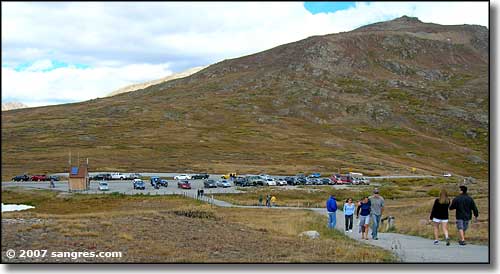 The parking area, from near the overlook 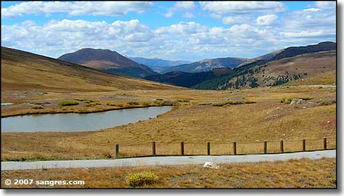 The view to the west |
||||||
| Clicking on one of the photos below will open a new window or new tab in your browser and bring you a larger version of that photo (800x600). |
||||||
| ||||||
|
|
||||||
Independence Pass PagesIndependence Pass Related Pages
Sawatch Mountains - Lake County - San Isabel National Forest
Collegiate Peaks Scenic Byway - Top of the Rockies Scenic Byway Colorado Pages
Towns & Places - Scenic Byways - State Parks - BLM Sites - History & Heritage
Ski & Snowboard Areas - Photo Galleries - Colorado Mountains - Scenic Railroads Unique Natural Features - Wilderness Areas - Outdoor Sports & Recreation Colorado's National Forests - National Wildlife Refuges - Colorado's National Parks |
||||||
 |
||||||
| Index - Arizona - Colorado - Idaho - Montana - Nevada - New Mexico - Utah - Wyoming National Forests - National Parks - Scenic Byways - Ski & Snowboard Areas - BLM Sites Wilderness Areas - National Wildlife Refuges - National Trails - Rural Life Sponsor Sangres.com - About Sangres.com - Privacy Policy - Accessibility |
||||||
| Photos courtesy of Sangres.com, CCA ShareAlike 3.0 License. Text Copyright © by Sangres.com. All rights reserved. |