|
||||||
|---|---|---|---|---|---|---|
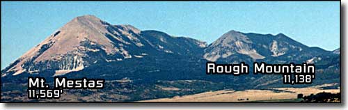
Mt. MestasSangre de Cristo Mountains |
||||||
|
|
||||||
|
||||||
|
Mt. Mestas is on the east side of La Veta Pass. Both Rough Mountain and Mt. Mestas are stocks, as are the Spanish Peaks, Silver Mountain and Sheep and Little Sheep Mountains. Mt. Mestas and Rough Mountain are mostly BLM owned. And there's a lot of Bighorn Sheep and Rocky Mountain elk in this area. On the north side of Rough Mountain there is a reserved area where bighorn sheep are dropped off to help repopulate the area. |
||||||
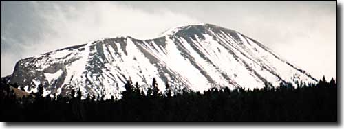 Mt. Mestas from the northwest 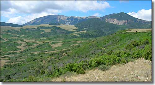 Mt. Mestas and Rough Mountain, from the north |
||||||
|
I had a conversation with a local fellow who runs an earth moving company. He told me about doing a job for the BLM on the northeast side of Mt. Mestas. He said about 10 feet down into the rock he came to ice. The deeper he went, the bluer it got. It seems the whole mountain is one big glacial ice ball underneath encasing most of the fractured granite the mountain is made of. And what is keeping it frozen is a huge bubble of carbon dioxide, deep in the ground. |
||||||
 Mt. Mestas from the southeast |
||||||
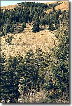
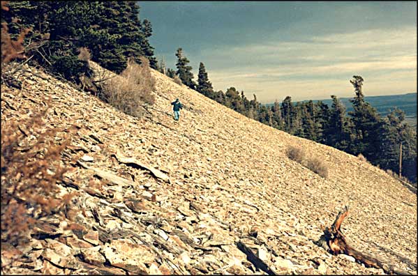
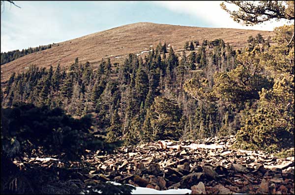
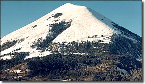
A friend and I started walking one day. We weren't intent on climbing the mountain, only on finding a particular fenceline. Our search took us quite a ways up the side of Mt. Mestas anyway. We found the going was much easier when we stayed on one of the trails made by the bighorn sheep. The photo above is the mountain as we approached it early in the morning. The snow was more of a dusting than anything. It melted off pretty quickly. We drove up onto the edge of the boulder field just east of Lost Lake in Tres Valles West. We climbed slowly across the boulder field until we reached the trees on the southern side of the cliff face. Then we continued up through the trees. Everywhere we went there was lots of loose talus. It's almost like the whole hill is one big rock slide waiting to let go. Then you reach a seemingly stable area and forget about it for a few minutes. But this mountain continually reminds you that it isn't just height that makes a mountain dangerous to climb... most of the 14ers are more user-friendly than this gravel pile. |
||||||
| Clicking on any of these photos will open a new window or new tab in your browser and bring you a larger version of that photo. |
||||||
| ||||||
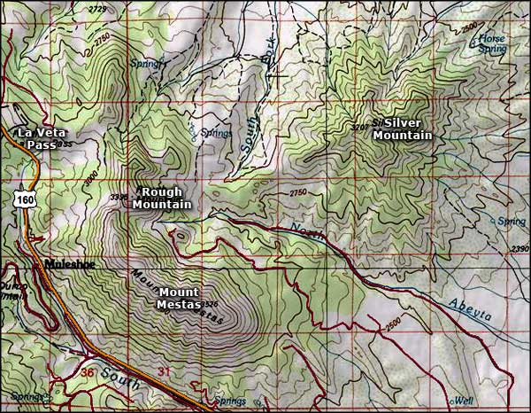 Mount Mestas area map |
||||||
|
|
||||||
Mt. Mestas Related PagesColorado Pages
Towns & Places - Scenic Byways - State Parks - BLM Sites - History & Heritage Ski & Snowboard Areas - Photo Galleries - Colorado Mountains - Scenic Railroads Unique Natural Features - Wilderness Areas - Outdoor Sports & Recreation Colorado's National Forests - National Wildlife Refuges - Colorado's National Parks |
||||||

|
||||||
| Index - Arizona - Colorado - Idaho - Montana - Nevada - New Mexico - Utah - Wyoming National Forests - National Parks - Scenic Byways - Ski & Snowboard Areas - BLM Sites Wilderness Areas - National Wildlife Refuges - National Trails - Rural Life Advertise With Us - About This Site - Privacy Policy |
||||||
| Photos courtesy of Sangres.com, CCA ShareAlike 3.0 License. Map courtesy of National Geographic Topo! Text Copyright © by Sangres.com. All rights reserved. |