|
||||||||||||
|---|---|---|---|---|---|---|---|---|---|---|---|---|
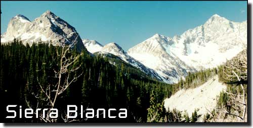
Sierra Blanca I |
||||||||||||
|
|
||||||||||||
|
||||||||||||
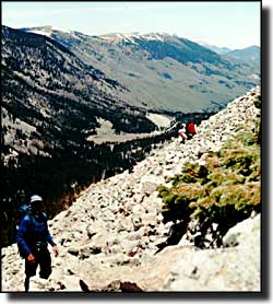
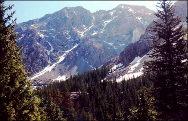
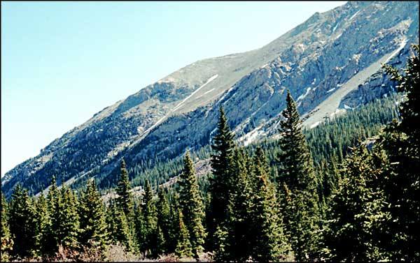
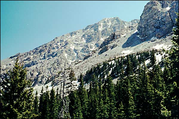
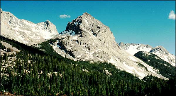
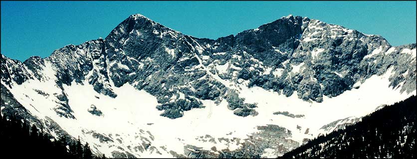
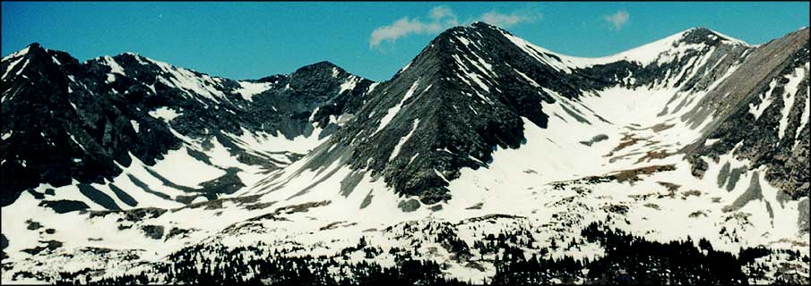
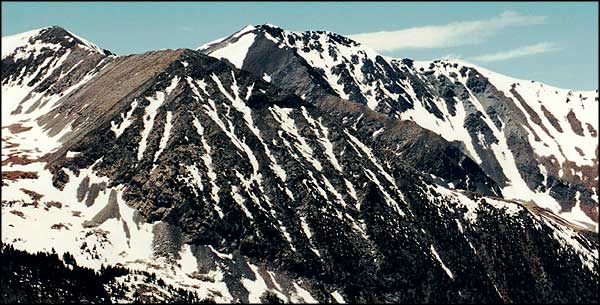
Bill and I got it in our heads to climb Mt. Lindsey (14,042'). The route in is from the north side of the Sierra Blanca through the Upper Huerfano Valley. We arrived at the Lily Lake Trailhead (10,640') at about 9:30 am. Because of the amount of snow and the runoff level of the Huerfano River, it took us an hour-and-a-half to cross. And then there was no way of locating the trail. So we bushwhacked uphill in what we thought was the proper direction. Immediately we were in a "prominent boulder field and talus slope," as one of the 14er hiking books describes it. Climbing over, under and through boulders the size of refrigerators is one thing, when we hit the talus we rethought our plan of attack and traversed the slope at much less of an angle than we started out. At this point, a couple of other climbers were above us on the hill trying to do the same thing. Problem is they were in the heart of the talus and the entire slope was moving. The guy ran ahead across the slope and got out of it. His girlfriend froze in place in mid-slope and couldn't move. Bill was slightly behind and below her and got her to sit down and breath. Then he talked her down on all fours to our trail which was much more solid. I was ahead so I went on and got the guy to turn around and go back to help her (he was out of sight and sound of her when he found stability.) |
||||||||||||
|
||||||||||||
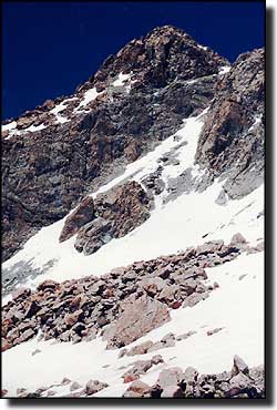
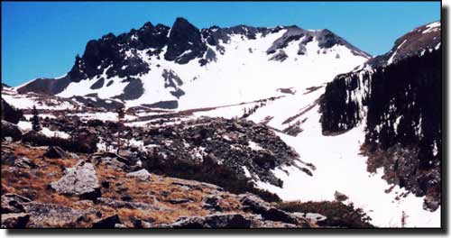
As we went further up the hill, there was more and more snow. We were forced out into it because of more boulders and talus sticking through everywhere. At a couple of points we were right against the cliffs at the top of the slope working our way around them and up the hill. The "post-holing" wasn't too bad (until we started down, of course). The effort we had to put out to cover the distance wiped us out. At about 12,500' we found the trail. At that point we were at the bottom of the rib that goes up to the pass over the Sierra Blanca at 13,100'. I got a leg cramp and sat for a bit. I told Bill to go ahead if he wanted to but he went up another 200' and then came back. We sat for a few and had lunch. That was at 3:00 pm. Then we decided to go back down through the streambed there and try to avoid the stuff we were cursing all the way up. That meant lots of snow travel on progressively steeper terrain. And as we went down the hill, the snow got softer. At about 11,000' we were forced back onto the boulder field. We were beat and it took us a while to cover the last bit of hill before the river came into view. Then we spent another 45 minutes locating the crossing. The river had risen considerably since morning with all the snowmelt. We crossed it quickly (I stumbled on the logs and fell in to my knees) and headed back to the truck. We spent 9 hours on the hill and didn't get nearly to the top. 21 June 2000, we get to the top. See the story at Sierra Blanca 2 and Mt. Lindsey Climb. |
||||||||||||
|
||||||||||||
| Clicking on any of these photos will open a new window or new tab in your browser and bring you a larger version of that photo. |
||||||||||||
| ||||||||||||
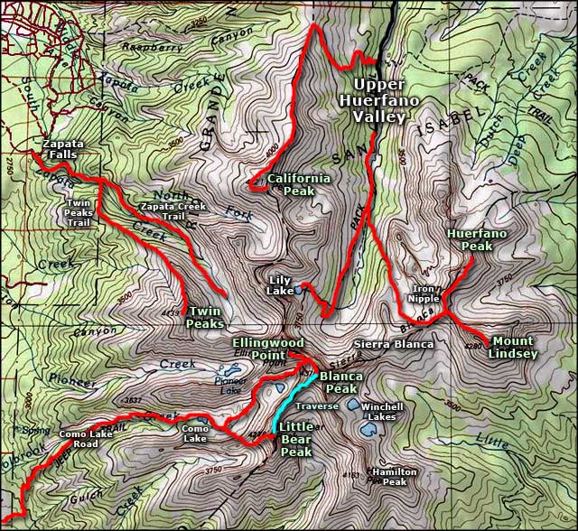 Sierra Blanca area map |
||||||||||||
|
|
||||||||||||
Blanca Massif Related Pages
Mt. Blanca - Mt. Lindsey - Sierra Blanca 2 - Mt. Lindsey Climb - Ellingwood Point
California Peak - Traverses - Little Bear Peak Como Lake - Como Lake Road - Zapata Falls National Recreation Area Colorado Pages
Towns & Places - Scenic Byways - State Parks - BLM Sites - History & Heritage Ski & Snowboard Areas - Photo Galleries - Colorado Mountains - Scenic Railroads Unique Natural Features - Wilderness Areas - Outdoor Sports & Recreation Colorado's National Forests - National Wildlife Refuges - Colorado's National Parks |
||||||||||||

|
||||||||||||
| Index - Arizona - Colorado - Idaho - Montana - Nevada - New Mexico - Utah - Wyoming National Forests - National Parks - Scenic Byways - Ski & Snowboard Areas - BLM Sites Wilderness Areas - National Wildlife Refuges - National Trails - Rural Life Advertise With Us - About This Site - Privacy Policy |
||||||||||||
| Photos courtesy of Sangres.com, CCA ShareAlike 3.0 License. Map courtesy of National Geographic Topo! Text Copyright © by Sangres.com. All rights reserved. | ||||||||||||