Bandelier Wilderness


Bandelier National Monument preserves and protects several settlements built by the Ancestral Pueblo peoples between the ninth and thirteenth centuries.
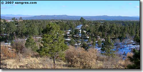
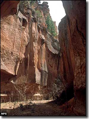
Some 23,267 acres beyond the core area of prehistoric settlements were designated as the Bandelier Wilderness by Congress in 1976. This area is full of deep river gorges and dry canyons carving into the volcanic tuffs of the Pajarito Plateau.
The 70+ miles of hiking trails lead through the challenging terrain of lush canyons and sweeping mesa tops past isolated prehistoric ruins. There's something for everyone here. One 3-mile trail takes you to the deep gorges of Alamo Canyon. A 5-mile trail leads to the ancient ruins at Yapashi. A 20-mile loop takes you past the Painted Cave and the Stone Lions Shrine. Three different trails lead you across the Bandelier Wilderness boundary and into the Dome Wilderness to the west. Another 8-mile trail leads into the densely Ponderosa-forested region of Upper Frijoles Canyon.
Water is not hard to find here, but you still may want to bring your own in the summer time. And while backcountry camping is allowed, campfires and pets are not allowed in the Bandelier Wilderness.
A good portion of Bandelier National Monument and Wilderness burned off in the early summer of 2011.

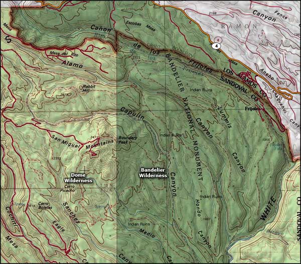
Bandelier Wilderness map

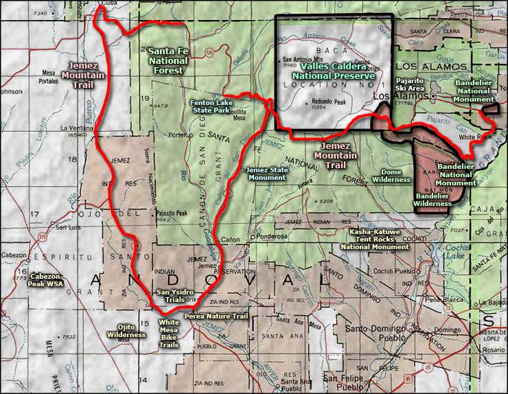
Bandelier Wilderness area map
