Capitol Reef National Park Photo Gallery

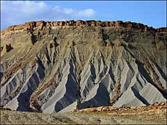
Along Highway 24
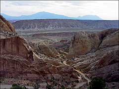
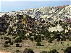
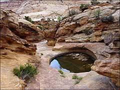
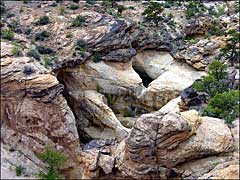
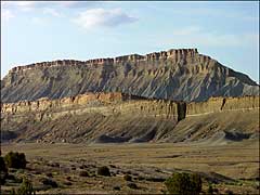
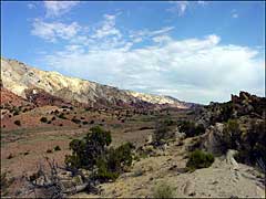
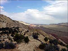
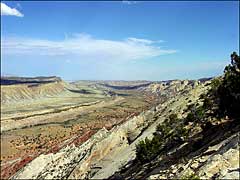
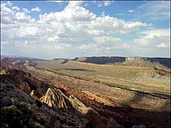
In the southern part of Capitol Reef National Park the main geographical/geological feature is the Strike Valley/Waterpocket Fold. This is an area where you can see the crust of the Earth turned up and broken off, leaving all those layers of horizontal strata that you see everywhere else turned on a vertical axis. The "Waterpockets" themselves are eroded "potholes" in the stone layers that fill with rainwater and, until the water evaporates, make that moisture available to nearby plants and visiting wildlife in this countryside mostly characterized by barren rock.
The Burr Trail is a road that travels west from the Waterpocket Fold and crosses into the Grand Staircase-Escalante National Monument. The Notom-Bullfrog Road travels southward from just east of Capitol Reef on Highway 24 down through the Waterpocket Fold to Bullfrog Basin on the shore of Lake Powell.
There's hundreds of millions of years of geological history on display here, and I'm champing at the bit and getting impatient for my scheduled few days' visit next summer...
To return, use the Back button in your browser.

