
Hells Canyon Wilderness
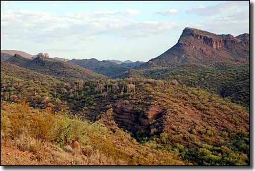
The Hieroglyphic Mountains rise above Hells Canyon Wilderness
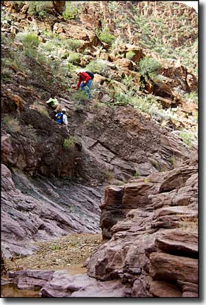
Hells Canyon Wilderness is composed of 9,311 acres in a scenic portion of the Hieroglyphic Mountains. Garfias Mountain (3,381') and Hellgate Mountain (3,339') offer some good climbing cliffs. There isn't much for maintained trails here but the canyons make for reasonably easy hiking. Most folks take a run at the Garfias Wash route: a canyon that rises westward from the northwest corner of Lake Pleasant and crosses the center of the wilderness area. The canyon is a mix of riparian zones and stretches of narrow, rocky canyon. Hidden in the center of the property is Burro Flats, almost completely surrounded by the Hieroglyphics. Access is limited to the western approaches because of private property along the north, east and south boundaries. You'll find lots of Sonoran Desert vegetation here (paloverde, barrel cactus, saguaro, ocotillo, etc.) There's also plenty of easily accessed primitive camping sites. But, as usual in the Arizona countryside, bring lots of your own water.
Rumor has it that there are a few extremely rare California fan palms growing near Castle Hot Springs. The only other place where those trees still grow is on the Kofa National Wildlife Refuge.
Go north from SR 74 at the Lake Pleasant Regional Park turnoff and then keep on north on the Castle Hot Springs Road. The only vehicle access to the Hells Canyon Wilderness boundary is on the Cedar Basin Road along the western side of the wilderness. You're going to want high clearance and 4WD.
USGS Maps: Governors Peak, Garfias Mountain
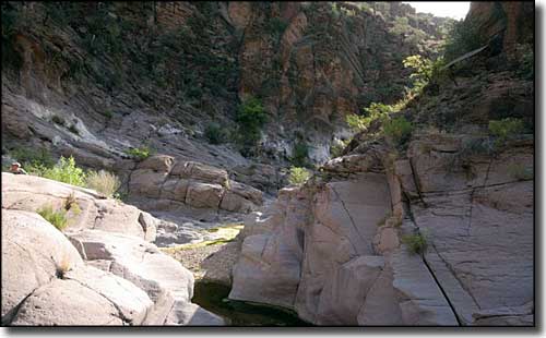
In the bottom of Garfias Wash
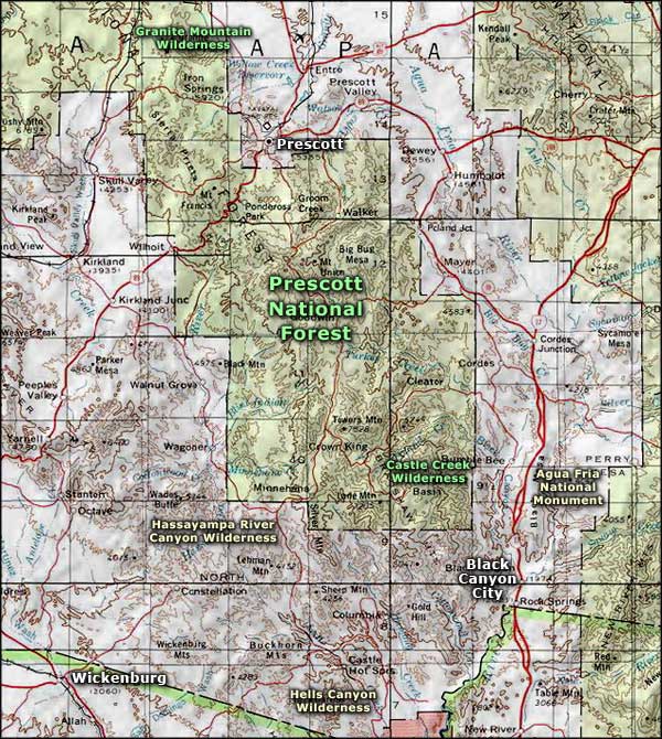
Hells Canyon Wilderness area map
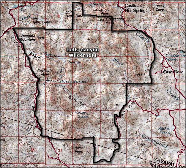
Hells Canyon Wilderness map
Wilderness.net: Hells Canyon Wilderness
