Ironwood Forest National Monument

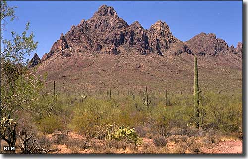
Ragged Top Mountain in the Silver Bells, Ironwood Forest National Monument
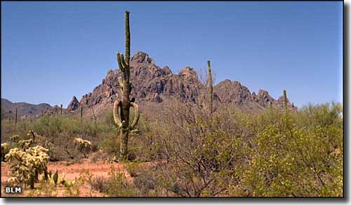
On the 129,000-acre Ironwood Forest National Monument, elevations vary from about 1,800' to about 4,200'. This is a beautiful Sonoran desert landscape showcasing lots of ironweed trees, one of the longest living trees in the Arizona ecosystems. You'll also find lots of paloverde, creosote bush, mesquite and saguaro scattered across this mountain-and-valley landscape. The mountain ranges here tend to be very rugged and are named Silver Bell, Sawtooth and Waterman. The Cocoraque Butte Archaeological District, the Los Robles Archaeological District and the Mission of Santa Ana del Chiquiburitac are areas of the National Monument that are also listed on the National Register of Historic Places.
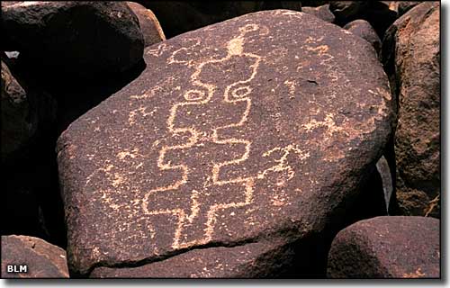
This area has been inhabited for at least 5,000 years, with more than 200 prehistoric Hohokam sites that have been found dating from 600 CE to about 1440 CE. There's a lot of rock art scattered through these hills. Near the middle of the property is Ragged Top Mountain. The area around Ragged Top is home to the Nichols turk's head cactus, the cactus ferruginous pygmy owl and the lesser long-nosed bat, 3 of the several endangered and threatened species that are protected on Ironwood Forest National Monument. The last viable population of indigenous (to the Tucson basin) Desert bighorn sheep live on this land. While you are looking for all the animals already mentioned, you also need to look out africanized honeybees, poisonous snakes and illegal immigrants.
To get there: Take exit 236 (Marana) off Interstate 10 and go 0.1 miles on Sandario Road. Then go right on Marana Road and head west for about 5.8 miles to Silver Bell Road. Silver Bell Road will traverse Ironwood Forest National Monument. There are no permits or fees involved, however, keep your vehicle on the existing roads. Some roads are quite rugged and see very little maintenance, you'll often wish you were in a high-clearance 4WD vehicle. The roads become impassable quickly if precipitation starts falling. There are no developed visitor facilities on the property but dispersed camping is allowed in most areas. You might also come across mining activity in some areas of the National Monument. Within the boundaries of the National Monument are sections of private land and other sections of Arizona state trust lands. If you are camping, hunting or hiking, make sure you are on federal property.

A petroglyph at Ironwood Forest National Monument

Ragged Top Mountain

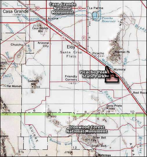
Ironwood Forest National Monument area map
