Peloncillo Mountains Wilderness

The Peloncillo Mountains

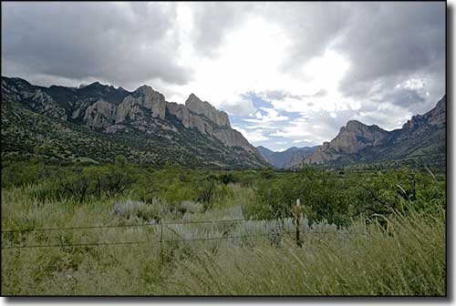
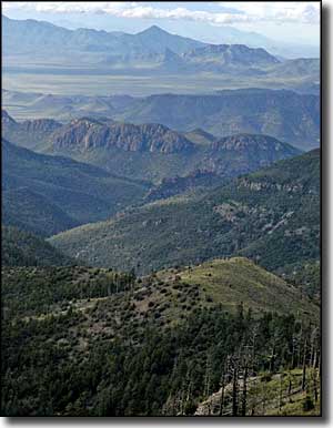
The Peloncillo's are part of a wild, volcanic upheaval that reaches from Mexico to the Gila River. The historic Butterfield Stage Route is along the southern boundary of this 19,440-acre property but the Peloncillo Mountains Wilderness area has never seen much human intrusion owing to its sheer ruggedness: this is a maze of deep canyons running every which way. One of the more scenic parts of the Wilderness is Little Doubtful Canyon with an extensive forest of Emory and Arizona white oak along the bottom, but access is often blocked by surrounding landowners' locked gates. There are other canyons worth exploring but the views are all up above: elevations range from about 4,000' to a high of 6,401'. Most of the countryside is semi-arid with snakeweed, burroweed, mesquite, turpentine bush, creosote, whitethorn, catclaw, prickly pear, agave, and juniper well represented. The state has reintroduced desert bighorn sheep to the area and there's enough deer here to attract a few hunters in season.
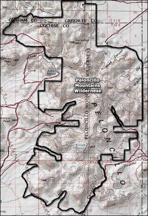
To get there: travel east from Duncan on SR 70 to Summit Road, then go south to access the northern part of the Peloncillo Mountains Wilderness. You can access the southern part of the wilderness via either the West Doubtful Road or the road to McKenzie Peak, both coming north out of San Simon, Arizona. From either direction you'll be much happier with the drive if you're in a 4WD with high clearance.
USGS Maps: 7.5 minute: Engine Mountain, Orange Butte, Doubtful Canyon, San Simon

Map of the Peloncillo Mountains Wilderness
