Redfield Canyon Wilderness

Redfield Canyon Wilderness

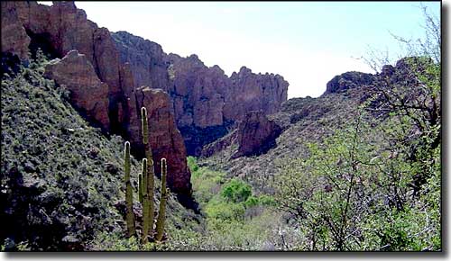
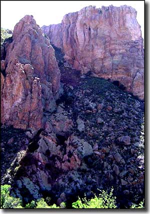
The 6,600-acre Redfield Canyon Wilderness is at the foot of the Galiuro Mountains, with the Galiuro Wilderness to the north. Redfield Canyon itself is a narrow, red-walled canyon below tall cliffs. The cliff walls are spotted with a multitude of eroded caves. Hidden deep in some of the side canyons, you'll find cascades of water and deep, cool pools fed by perennial streams. On the eastern edge of Redfield Canyon Wilderness you'll find the fault-block landform called "the Galiuro Escarpment," an impressive rise of land that is typical in the Basin and Range Province.
There are no maintained trails in the Redfield Canyon Wilderness. A large part of the western half of the property is privately owned and you'll need to get permission before crossing it. You're probably just as well off to enter the property from the north by crossing the Galiuro Wilderness and dropping down into the northern part of Redfield Canyon.
On the south side of Redfield Canyon Wilderness is the Muleshoe Ranch Cooperative Management Area: a 49,120-acre property jointly owned and managed by the Nature Conservancy, Coronado National Forest and the Bureau of Land Management. There is no camping allowed at Muleshoe Ranch headquarters or guest facilties but the lodging accommodations are highly recommended (minimum 2-night's stay, September through May). There's a visitor center, more than 22 miles of hiking trails and loops, a natural hot springs exclusively for the use of casita guests, but no dogs or other house pets allowed. Primitive, low-impact camping is allowed on public lands at the Jackson Cabin (about 14 miles north of the Muleshoe Headquarters area) and at Hooker Cabin (20 miles out).
Go to exit 304 on the I-10 (Benson) and then head north 32 miles to Muleshoe Ranch. At Muleshoe Ranch, sign in at the registration area before taking the Jackson Cabin Road (high clearance 4WD only) that heads north from the ranch to the Redfield Canyon Wilderness boundary.
USGS Maps: Cherry Spring Peak, The Mesas

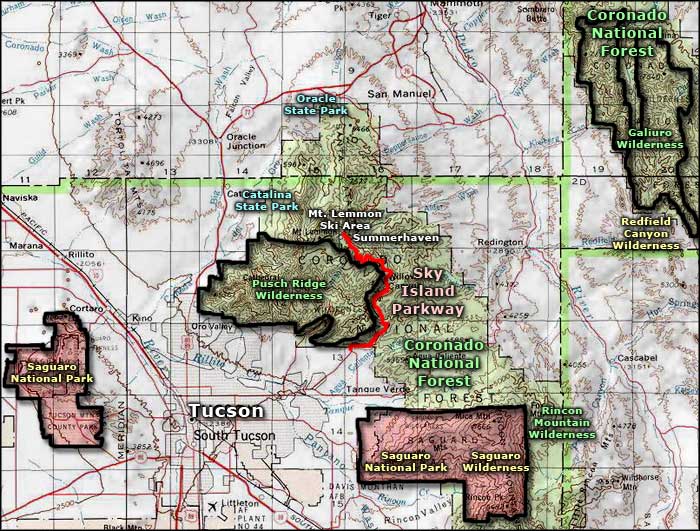
Redfield Canyon Wilderness area map

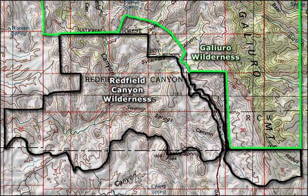
Redfield Canyon Wilderness map
