
Trigo Mountains Wilderness
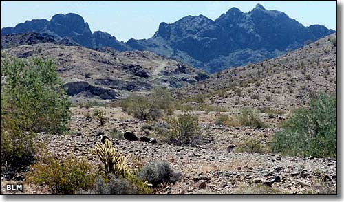
In the Trigo Mountains Wilderness
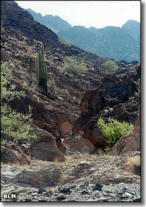
The 30,300-acre Trigo Mountains Wilderness is sandwiched between the Cibola National Wildlife Refuge on the west and the Yuma Military Proving Grounds on the east, about 25 miles north of Yuma. To the south is the Imperial National Wildlife Refuge and more of the Yuma Military Proving Grounds. Between the Trigo Mountains and the Kofa National Wildlife Refuge to the east is a wide bajada populated by burros, mustangs, desert bighorn sheep, bobcats and mountain lions.
The Trigo Mountains Wilderness is stretched out along 14 miles of the sawtoothed ridgeline of the Trigo Mountains. The mountain ridge is further cut across by Hart Mine Wash in the north, Clip Wash in the center and Red Cloud Wash in the south. There are several seeps and small springs scattered through the area, supporting mule deer, desert bighorn sheep, ring-tailed cats, coyotes, and gray foxes. This is another area of high, steep rock faces that attract a lot of rock climbers. You might also come across folks out here engaged in extended horseback riding and/or backpacking trips.
North of Yuma on US 95 you'll find the Martinez Lake Road. Go west on that to the Imperial National Wildlife Refuge, then go northwest on the Red Cloud Mine Road to Red Cloud Wash. Other roads near the Trigo Mountains Wilderness include the Lopez Wash Road, Hart Mine Wash Road and the Cibola Road. All of these roads suggest you bring high clearance and 4WD with you.
USGS Maps: 15 minute: Picacho, AZ; Cibola, CA
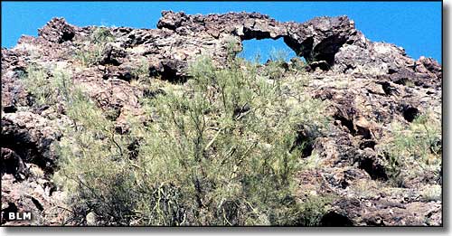
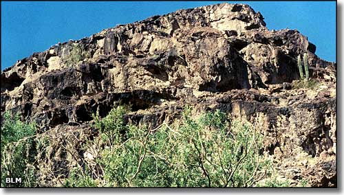
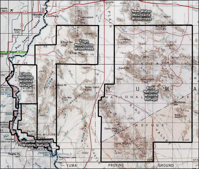
Trigo Mountains Wilderness area map
