
Gila-Pinal Scenic Road
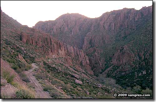
Off the pavement, just above Superior
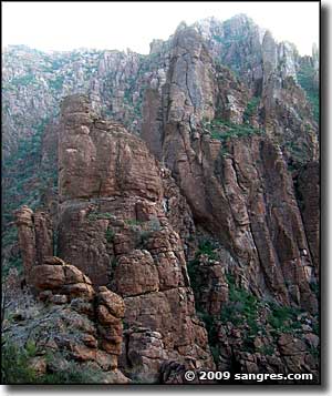
The Gila-Pinal Scenic Road is part of US Highway 60 between Florence Junction and Miami. The route crosses typical open Sonoran Desert before rising up through 4 distinct biological zones into the high Ponderosa pine forest above Miami. Along the way are some incredible rock formations left over from millenia of erosional activity in the Pinal Mountains. In some of these photos you can see the riparian woodlands that exist in the bottoms of some of the wetter canyons. Rising above that is the sagebrush-mesquite/ironwood scrub that disappears into the solid, exposed rock.
And then there are the copper mines. If I have my geology right, the copper is concentrated in the skeletons of ancient sea creatures, the remains of beasties that existed here when the whole area was ocean bottom hundreds of millions of years ago. The creatures tended to live where food was plentiful, and when this was all ocean bottom, what caused the creatures to congregate were the smaller creatures (algae, plankton, etc.) that fed in the flows from the fumaroles and vents in that sea bed that emitted gases and minerals from deep in the Earth. These "emissions" were relatively high in copper content, and when these ancient sea creatures from the upper portions of the food chain died, their remains just fell to the ocean floor and piled up there, concentrating that organically collected copper in particular areas. The areas of really high concentration were mined long ago, what is being mined these days tends to run at 2% copper concentrations and less.
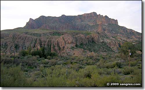
Above the Boyce Thompson Arboretum State Park just west of Superior
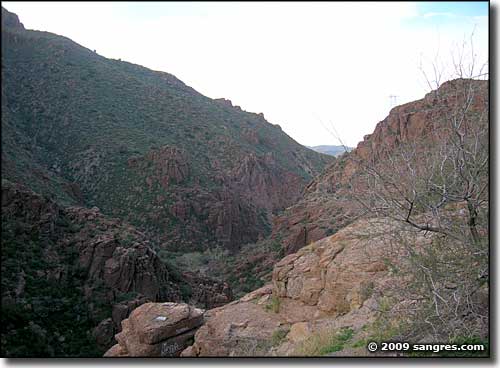
Above Superior, heading towards Miami
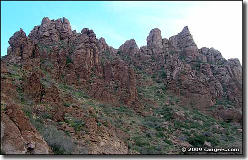
Rock spires rising above the highway
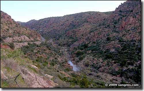
The canyon below the highway
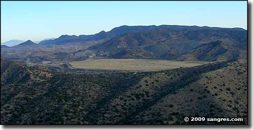
One of the former copper mines west of Miami

A copper mine still being worked in the Pinal Mountains outside of Miami
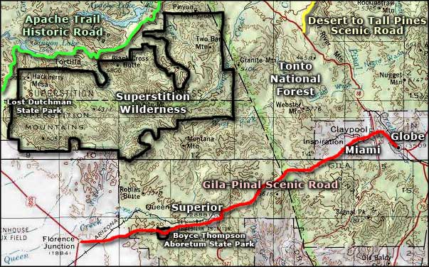
Gila-Pinal Scenic Road area map
