Miller Peak Wilderness

In Miller Peak Wilderness
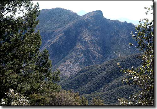
The 20,228-acre Miller Peak Wilderness is one of the most rugged (and wildlife-filled) areas in southern Arizona. In the southern half of the Huachuca Mountains between Sierra Vista and the Mexican border, Miller Peak Wilderness supports more than 170 species of birds, 78 species of mammals and more than 60 species of reptiles. Elevations vary from a low of about 5,200' to a high of 9,466' at the top of Miller Peak (the highest and southernmost peak in the US).
Miller Peak Wilderness used to be covered mostly in pines and firs but a number of recent wildfires have changed most of that to a cover of native grasses, scrub oak and aspen. The canyons here are deep, with cliffs rising several hundred feet above the canyon floors in many places. A hundred years ago saw a lot of mining and ranching activity here, and there are abandoned roads and trails through much of the Wilderness. There are at least 21 trails accessible from the east, south and west boundaries. The 11.5-mile Crest Trail reaches to the summit of Miller Peak, and delivers some truly incredible views along the way. The Arizona Trail also crosses Miller Peak Wilderness from north to south on its way to the southern terminus at the Mexican border.
Water is usually available year round at a limited number of springs and streams but in dry years, these sources are undependable. To be safe, carry lots of your own.
USGS Quads: Huachuca Peak, Miller Peak, Montezuma Pass.

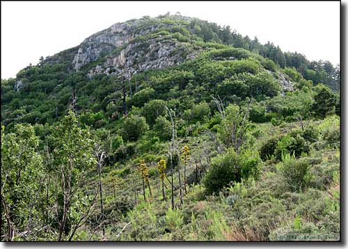
Carr Peak from the connecting ridge with Miller Peak

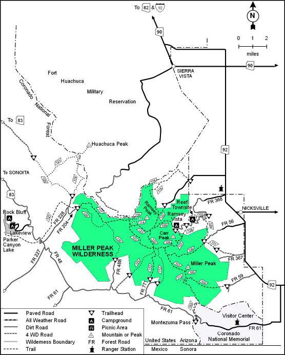
Miller Peak Wilderness map
