Pine Mountain Wilderness

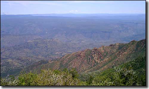
View over the Verde Valley from the top of Pine Mountain Wilderness
Pine Mountain Wilderness is a 20,100-acre property that straddles the Verde River Rim, and the boundary between the Prescott and Tonto National Forests. Pine Mountain itself (6,814') is the highest point on the Verde River Rim and the mountain's southeastern slopes make a steep and rocky drop through heavy chaparral to Arizona's only Wild and Scenic River Area. The Verde River Rim is high enough to give you some great views out over the Arizona desert from beneath tall Ponderosa pines and Douglas firs. Everything downhill from here is hot, dry mountain or mesa covered with pinon and juniper. And all of it is cut by deep, rugged canyons.
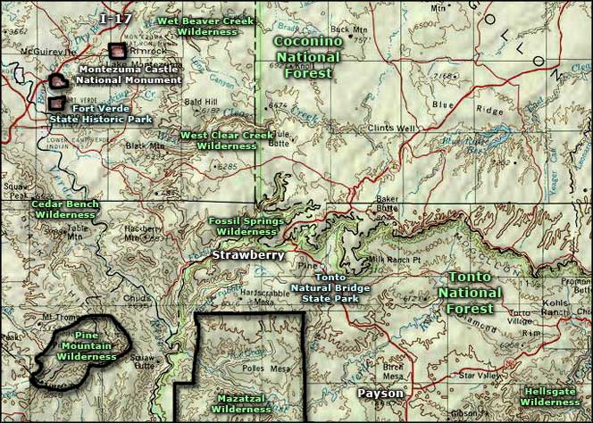
Most of the Pine Mountain Wilderness is water-challenged, but the Verde River does support a pretty good population of big game animals. Cedar Bench Wilderness is just a few miles to the north and the Mazatzal Wilderness a few miles to the east.
There are some poorly maintained trails in the Pine Mountain Wilderness and, like I said, most of this area is water-challenged: you'll want to carry plenty of your own. The Nelson Trail enters the wilderness from the north and traverses about 8.2 miles of chaparral to reach the Verde Rim Trail. The Verde Rim Trail then runs about 5.3 miles along the Verde Rim (of course) and runs into the Cedar Bench Wilderness. The Nelson Trail also gives you access to the Pine Mountain Trail, which runs 1.2 miles to the top of the mountain. One problem with these trails is they are hard to distinguish from cow paths, and there are more cow paths (and cow pies) in Pine Mountain Wilderness than there are hiking trails. (Update 2009: I'm seeing that the Arizona Wilderness Coalition is working to clear out some of the trails in the Pine Mountain Wilderness - they had an overnight trip scheduled for June 6-7, 2009 to do this. Bravo!)

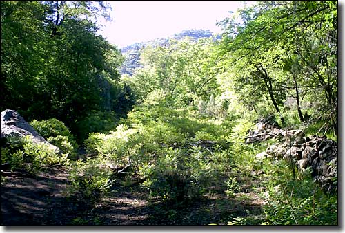
The Nelson Trail in Pine Mountain Wilderness

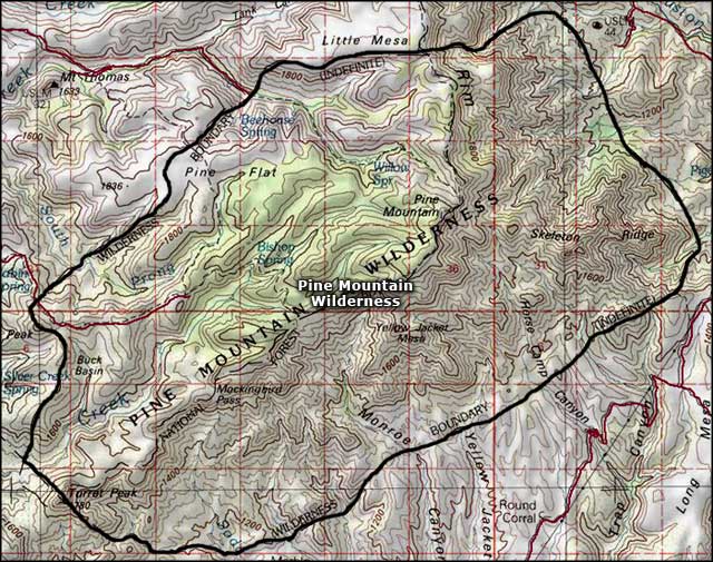
Pine Mountain Wilderness map

Pine Mountain Wilderness area map
