Salome Wilderness

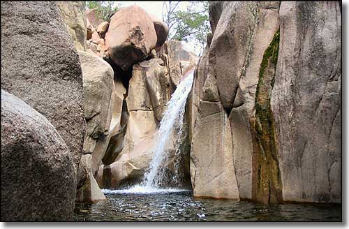
Down in Hell's Hole, Salome Wilderness

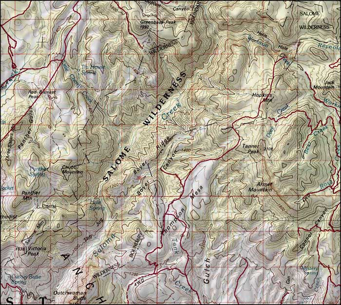
The 18,531-acre Salome Wilderness is centered around the rugged and isolated Salome Canyon. The canyon runs south from Hell's Hole, a place where the bedrock outcroppings become imposing, precipitous bluffs. The low point in Salome Wilderness is about 2,600' at the lower end of Salome Canyon, just above Theodore Roosevelt Reservoir. The high point is on the summit of Hopkins Mountain (6,500'). The vegetation is a mix of semidesert grasses and thick chaparral.
There are several trails coming into Salome Wilderness, the busiest being the Hell's Hole Trail, a steep 5.3-mile drop into Hell's Hole from the Reynolds Trailhead. The trails in Salome Wilderness are rare and poorly maintained, making cross-country travel extremely difficult. But if you make the journey anyway, you may come across ancient Salado ruins out here and hardly ever another living soul...
There are several intermittent springs in the canyon but depending on the dryness of the season, you may want to bring your own water, just in case.
Group size in Salome Wilderness is limited to 15 people and 15 head of pack or saddle animals. This is enforced year-round.
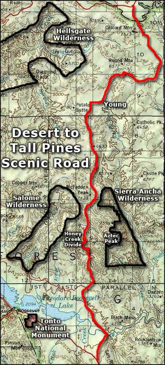
Trailheads at the northern end of Salome Wilderness are usually accessed via the Desert to Tall Pines Scenic Road (Arizona Highway 288). There is also a road clinging to the edge of the hill (well back from the high water line) around the northern side of Theodore Roosevelt Lake that runs along the southern boundary of Salome Wilderness.

