Matterhorn Trail
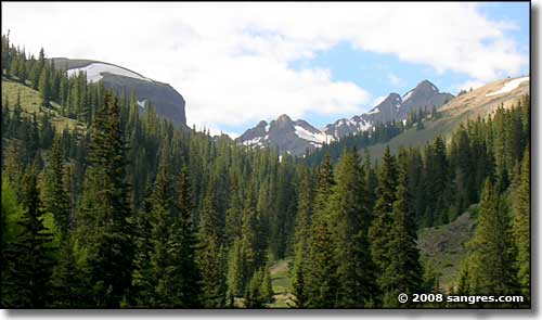
Looking at my immediate future...
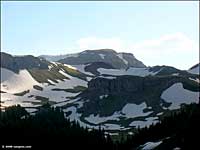
When I decided I was going to drive the Engineer Pass section of the Alpine Loop Back Country Byway, I knew it would be late in the day when I left Lake City. So I picked the Matterhorn Trailhead as a good place to spend the night. The next step of my plan was to get there early enough to take a good hike before pitching camp and going to sleep. My plan was successful: I got to hike up the hill for a bit more than an hour before turning around and heading back to camp.
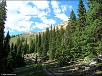
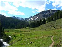
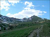
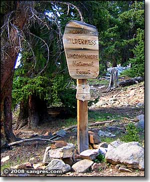
The road in wasn't too bad, but you'll want 4WD and good clearance. The trailhead is clearly marked: there's something about an info billboard and a locked gate that says "stop here." The trail was kinda rocky going through the trees and beside the high-flowing stream (lots of snowmelt this year) but once I got clear of the trees, it was easy walking on dirt and gravel through wide open alpine meadow. Probably a mile-and-a-half in I came to the Wilderness boundary sign. To this point the trail had been steadily uphill nearly every step of the way. Beyond the sign, the angle eased off quite a bit.
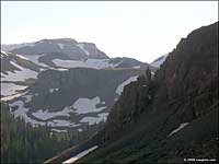
I continued on for maybe half-an-hour, til the sun was getting close to the ridges on the west. My GPS device was telling me I was at about 12,750' when I turned around and headed back down. It was a beautiful walk at altitude and I slept like a baby that night (even though the temperature dropped below freezing - June 27, 2008).
Along the hike I came across signs indicating that the Colorado Fourteener Initiative folks were trying to establish a route through here leading up onto the southeast ridge of Wetterhorn (a 14er just to the west of the Matterhorn). Their objective is to make it easier for folks to reach Wetterhorn without destroying all that alpine vegetation in between by traipsing in every which direction along the way: give them a well-marked path and hopefully, they will follow it. But I didn't see any indication that the project was complete and that there is now a marked trail going in that direction. Everything I walked on was heading northeast to east, and Wetterhorn is northwest...
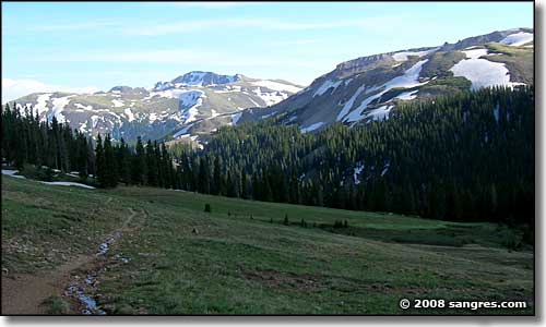
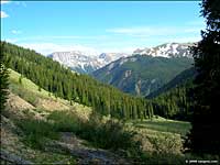
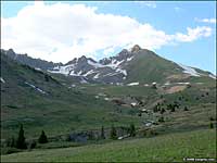
Looking back the way I came...
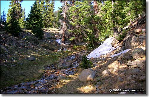
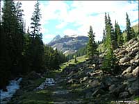
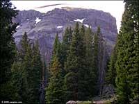
Snowmelt flowing downhill at treeline
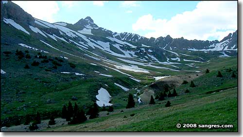
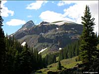
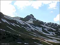
The Matterhorn, left of center
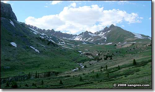
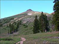
The ridge east of the Matterhorn
To return, use the Back button in your browser.
