
Grand Mesa Scenic Byway
Mesa to Land's End Road

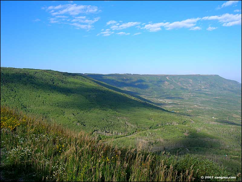
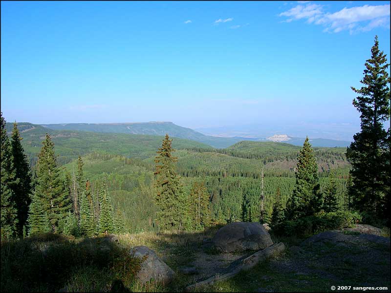
Looking west, just south of Mesa
After taking a few photos around the town of Mesa I continued my journey south. Lots of farm and ranchland out here. As I drove, the views just got bigger and bigger but it was a day when weather was blowing in from the west: the humidity arrives first and builds into a haze. If not for the haze, I'd have some exccellent shots of far-off mountains in Utah.
From Mesa, the road rose at a continual easy grade until I came to the turn just past Powderhorn Resort. It was a reasonable 135° turn and then the grade got much steeper. I went on for quite a ways before turning a switchback the other way that kept on climbing up the slope of this high wall toward the top of Grand Mesa.
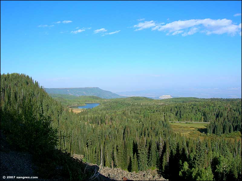
Then the road leveled out and I started seeing ponds along the way. The aspen through this section was pretty thick. Somewhere around here I remember seeing a sign that said: Moose Crossing, Next 35 Miles. This shoulder of Grand Mesa wasn't very wide, it was only another mile or so and the final, nearly vertical wall of frozen lava arrived. There was a switchback at the bottom and then the road went steeply up the face of the lava flow. Huge views but nowhere to stop, especially when I saw all the rock fall in some areas. At the top of the face was a curve to the south and I was finally on top of Grand Mesa. There was a good turnout right there and I took advantage of it. Then I continued on south.
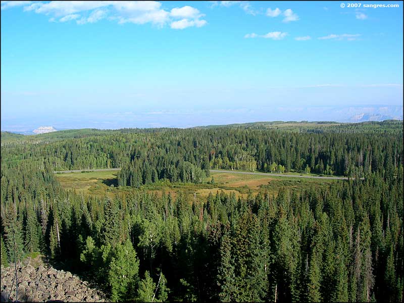
Another couple miles and I came to a large open area dotted with small ponds. There was a sign there saying: Grand Mesa Reservoirs, No Fishing, Ponds Are Drained Every Year. Just past there was the intersection with Land's End Road.

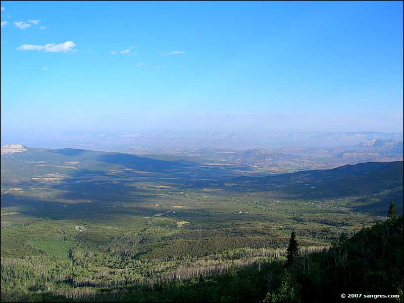
Looking back north, just south of Mesa

At the entrance to Powderhorn Ski Resort

Sunset Lake, on the next upper level of the mesa

Finally heading up to the top of Grand Mesa
To return, use the Back button in your browser.
 Looking west over Powderhorn Resort |
 Looking west toward Utah |
 Sunset Lake |
 Looking west near the top of the mesa |
 Looking north at the top of the mesa |
 Grand Mesa Reservoir #9 |
