
Unaweep-Tabeguache Scenic Byway
Norwood to Placerville
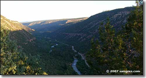
Canyon of the San Miguel River
Heading east out of Norwood on the Unaweep-Tabeguache Scenic Byway is to drive across the center of the flat mesa. Then all of a sudden, you come to the drop into the San Miguel River Valley. It's a long way down, and steep, too. As I was out here early in the morning, it got dark at the bottom of the canyon.
The next 13 miles are along the bottom of the canyon, beside the San Miguel River with high-rising red sandstone walls rising on two sides. There's lots of fishing places through here but the camping, I don't know. In the canyon this is all BLM land and most of the sideroads I turned in to were barricaded. There were a couple of developed campgrounds, though, and they seemed to be busy still (late September). Now and then I'd be able to get down to the river and it looked like the fishing in here should be excellent.
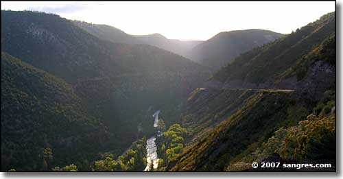
The San Miguel River
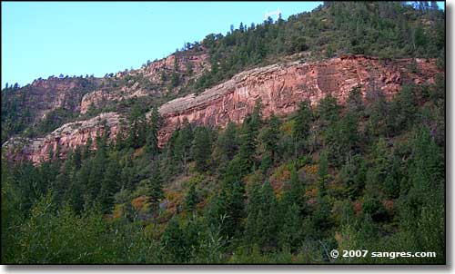
Red sandstone layers above the river
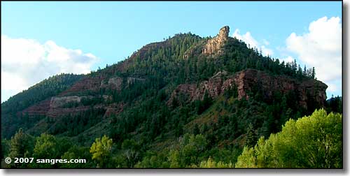
Sandstone layers everywhere
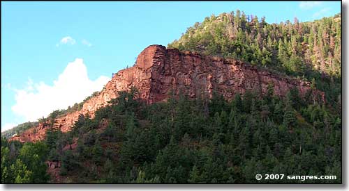
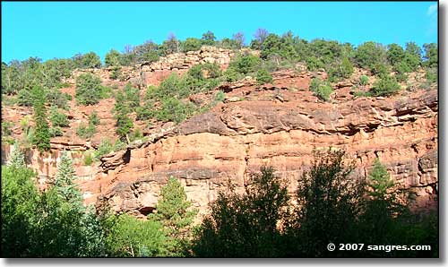
Traveling up the canyon, the walls just get higher
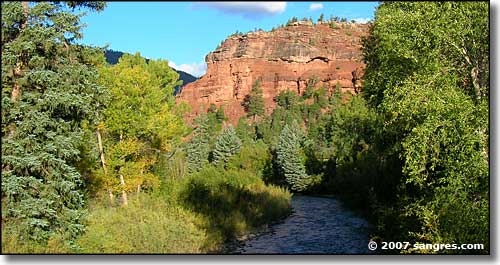
The mix of red and green and blue is pretty spectacular
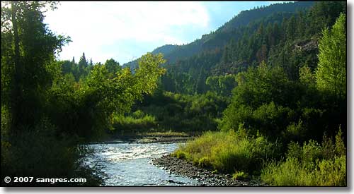
Just out of Placerville
