
West Elk Loop Scenic Byway
From Curecanti National Recreation Area to Hotchkiss
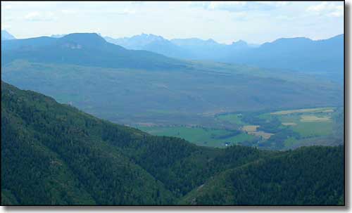
Looking southwest near Crystal, San Juan Mountains in the distance
Near Crystal, the West Elk Loop leaves the spectacular views of the Black Canyon of the Gunnison behind and heads out cross-country around the West Elk Mountains. It seems the southern parts of the West Elk Mountains are the remains of one large volcano that erupted a few million years before the volcanic activity that left us with the San Juan Mountains to the south. There's lots and lots of eroded West Elk Brecchia through here with large, gorgeous green valleys finally ending in the sand hills that mark the northern end of the Gunnison Gorge.
All along the way it's beautiful countryside, most of it uninhabited. I mention Maher here a couple of times but the population must be less than 100, there's really no indication of a town existing here. Crawford is the first real town I came to and it doesn't look like any kind of metropolis, nor does Hotchkiss although Hotchkiss actually has a business area.
The eastern entrance to Black Canyon of the Gunnison National Park is in the area of Maher (just south of Crawford State Park) but it was getting on in the day and I didn't make the turn: something about this day job that I have. No Colorado vacation would be complete without a drive and a few stops along this beautiful and historic Scenic Byway, even if you do have a day job to contend with.
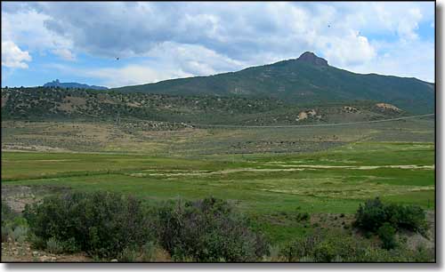
Looking east near Maher
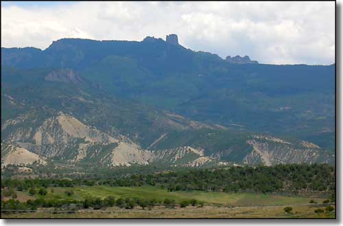
Castle Rock, looking east near Maher
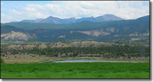
Looking northeast near Maher
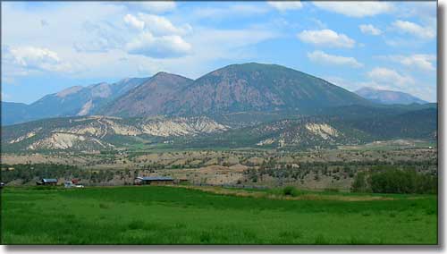
Looking northeast just south of Crawford
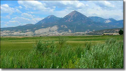
Looking east just north of Crawford
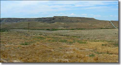
Sand hills in the area of Gunnison Gorge National Conservation Area
