Lone Mesa State Park

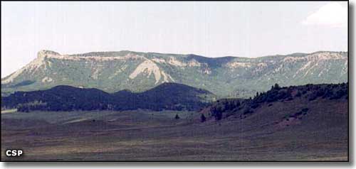
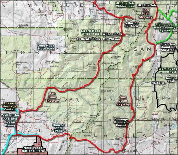
Lone Mesa State Park is still in the planning and development stages and is therefore closed to the general public. You can get there if you draw a special hunting permit during one of the big game seasons. Lone Mesa State Park encompasses 11,760 acres between 7,200' and just over 9,000' in elevation. This is very scenic and remote countryside with fantastic deer, elk and black bear habitat. One thing complicating development of the area is the present livestock grazing lease and other Special Use Permits. Access to Lone Mesa State Park is through sections of San Juan National Forest.

Lone Mesa State Park area map
Lone Mesa State Park Related Pages
Dolores County - Mancos State Park - San Juan National ForestUncompahgre National Forest - Mesa Verde National Park - Anasazi Heritage Center
Trail of the Ancients Scenic Byway - San Juan Skyway - Alpine Loop Back Country Byway
Durango Mountain Resort - Silverton Mountain Ski Area - Telluride Ski Resort
Lizard Head Wilderness - Mount Sneffels Wilderness - Weminuche Wilderness
More Colorado Information, Photos and Maps
Towns & Places - Scenic Byways - State Parks - National Forests - National Wildlife RefugesNational Park Service Sites - BLM Sites - National Wilderness Areas - Unique Natural Features
Outdoor Sports & Recreation - Ski & Snowboard Areas - Photo Galleries - Colorado Mountains
