 |
Monument Valley |
|
|
 |
|
|
|
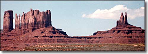
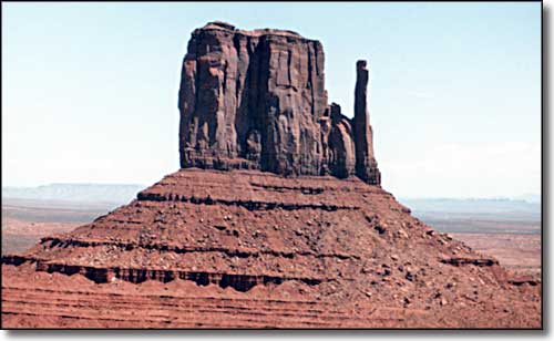
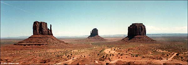
The most famous parts of Monument Valley are inside the Navajo Reservation Tribal Park. You get there after driving through miles of spectacular rock formations. Over the millenia, this area has alternated between being ocean bottom and dryland plateau. What we are seeing as monuments are actually what is left after millions of years of erosion. It makes for a very different landscape. The floor of the valley is mostly composed of Cutler Red siltstone, although there are layers of sand on that deposited by the rivers that have carved these spectacular canyons into the base rock of the Colorado Plateau. In the monuments themselves, the lowest layer is an Organ Rock shale, the middle layer de Chelly sandstone and the top layer the harder Moenkopi shale capped by a layer of Shinarump siltstone. The composition of that Shinarump siltstone is what drew uranium prospectors to the area between 1948 and 1967 (the years of large-scale uranium mining on the Navajo Nation). |
 One of the Mittens |
| Clicking on the photo below will open a new window or new tab in your browser and bring you a larger version of that photo.  |
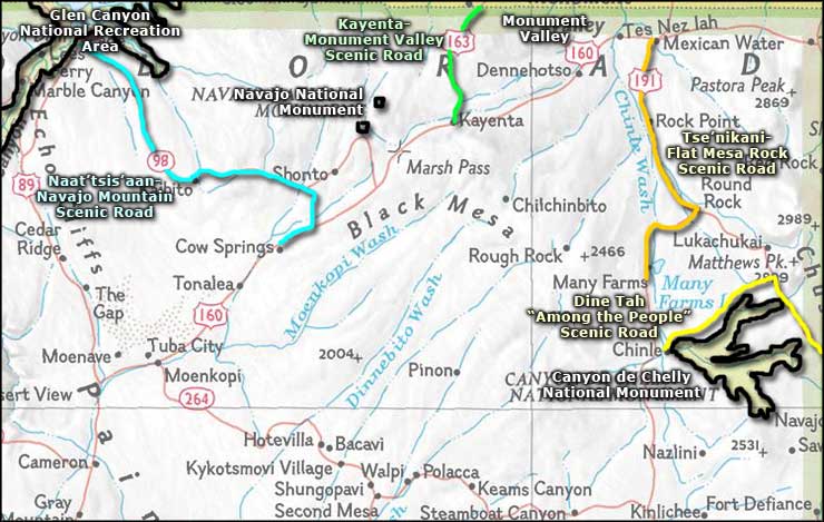
 Monument Valley area map |
|
|
Red Rock Country Related Pages
Four Corners Area - Lake Powell - Natural Bridges National Monument
Mesa Verde National Park - Canyon de Chelly National Monument - Navajo National Monument Hovenweep National Monument - Glen Canyon National Recreation Area Dine Tah-Among the People Scenic Road - Tse'nikani-Flat Mesa Rock Scenic Road Kayenta-Monument Valley Scenic Road - Naat-tsis-aan-Navajo Mountain Scenic Road Monument Valley to Bluff Scenic Byway - Trail of the Ancients Arizona Pages |
 |
| Index - Arizona - Colorado - Idaho - Montana - Nevada - New Mexico - Utah - Wyoming National Forests - National Parks - Scenic Byways - Ski & Snowboard Areas - BLM Sites Wilderness Areas - National Wildlife Refuges - National Trails - Rural Life Sponsor Sangres.com - About Sangres.com - Privacy Policy - Accessibility |
| Photos courtesy of Sangres.com, CCA ShareAlike 3.0 License. Area map courtesy of National Geographic Topo! Text Copyright © by Sangres.com. All rights reserved. |