 |
Land of the Yankee Fork State Park |
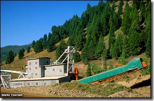
 An old gold dredge at Land of the Yankee Fork State Park |

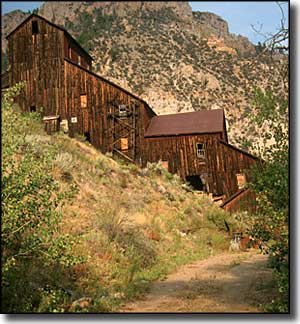
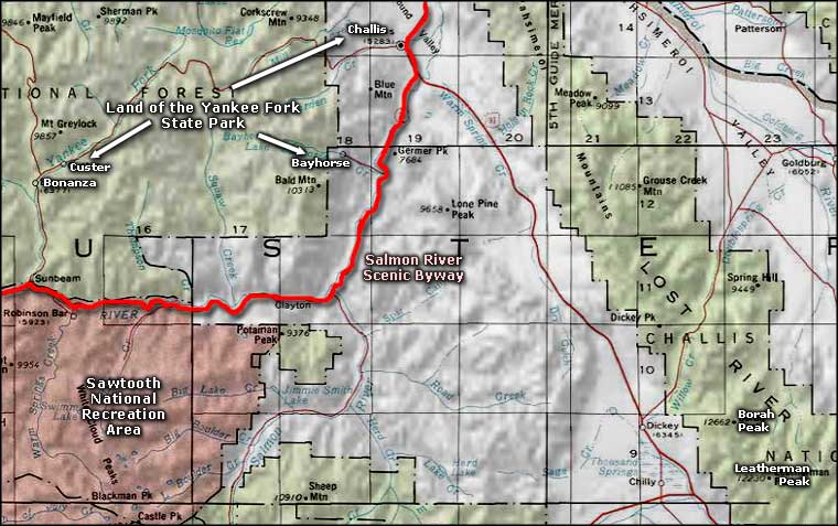
Part of the Land of the Yankee Fork Historic Area, Land of the Yankee Fork State Park is a 20.9-acre site with historical interpretations and numerous recreational opportunities centered around the museum exhibits, audio-visual programs and gold panning station at the Interpretive Center in Challis. During the summer, the Interpretive Center is open 7 days a week from 9 am to 5 pm. In winter, it's only open Monday through Friday, 9-5. Managed jointly by the Salmon-Challis National Forest, the Bureau of Land Management and the Idaho Department of Parks and Recreation, the Land of the Yankee Fork Historic Area offers local mining history and area attractions such as the ghost towns of Custer, Bonanza and Bayhorse, the Challis Bison Jump, the Custer Motorway and the Yankee Fork Gold Dredge. Land of the Yankee Fork State Park is comprised of several units scattered through the whole of the Land of the Yankee Fork Historic Area, the main unit being just outside of Challis and featuring the Visitor/Interpretive Center. The other units are surrounded by BLM and National Forest Service property, which means access to hundreds of miles of OHV/ATV trails, and fishing, camping, hunting, backpacking and hiking opportunities galore. While wandering around in these woods you will most likely come across old (and perhaps abandoned) mining sites. The mines themselves are dangerous, the structures are dangerous and the grounds/slag piles are often contaminated with heavy metals, chemical residues and other hazardous materials. |
 Land of the Yankee Fork State Park area map |
|
|
 |
| Index - Arizona - Colorado - Idaho - Montana - Nevada - New Mexico - Utah - Wyoming National Forests - National Parks - Scenic Byways - Ski & Snowboard Areas - BLM Sites Wilderness Areas - National Wildlife Refuges - National Trails - Rural Life Advertise With Us - About This Site - Privacy Policy |
| Photo of the gold dredge courtesy of the Idaho Department of Tourism. Upper left photo of Bayhorse courtesy of Idaho Department of Parks and Recreation. Map courtesy of National Geographic Topo! Text Copyright © by Sangres.com. All rights reserved. |