 |
South McCullough Wilderness |
 South McCullough Wilderness |
|
The 44,252 acres of the South McCullough Wilderness are in the southern McCullough Mountains. This is a north-south trending fault block range of uplifted granite, gneiss, schist and metamorphosed Precambrian rock with narrow canyons and steep slopes that drop to foothills and sloping alluvial bajadas on the east and west sides. Elevations range from 2,500' to the summit of McCullough Peak at 7,026'. In the higher areas there's a forest of juniper and pinon while the lower elevations are covered with sagebrush, creosote bush, yucca, cacti and Joshua tree. In the washes you might find scattered communities of catclaw and mesquite. These mountains are high enough to collect lots of snow in the winter. There are about 19 miles of hiking and horseback riding trails in the South McCullough Wilderness, however, some trails will get lost as soon as you enter or exit some of the washes. The McCullough Trail is the easiest one to find and follow as it works its way up and down the side ridges around the base of the McCullough Range. In your travels here you may come across a number of small springs that produce water in most seasons but tend to go dry in the summer (when you might need it most). Among the wildlife you may come across are Nelson bighorn sheep, mule deer, chukar, Gambel's quail and the endangered desert tortoise. You might also find prehistoric occupation sites, rock art and pine nut caches. |
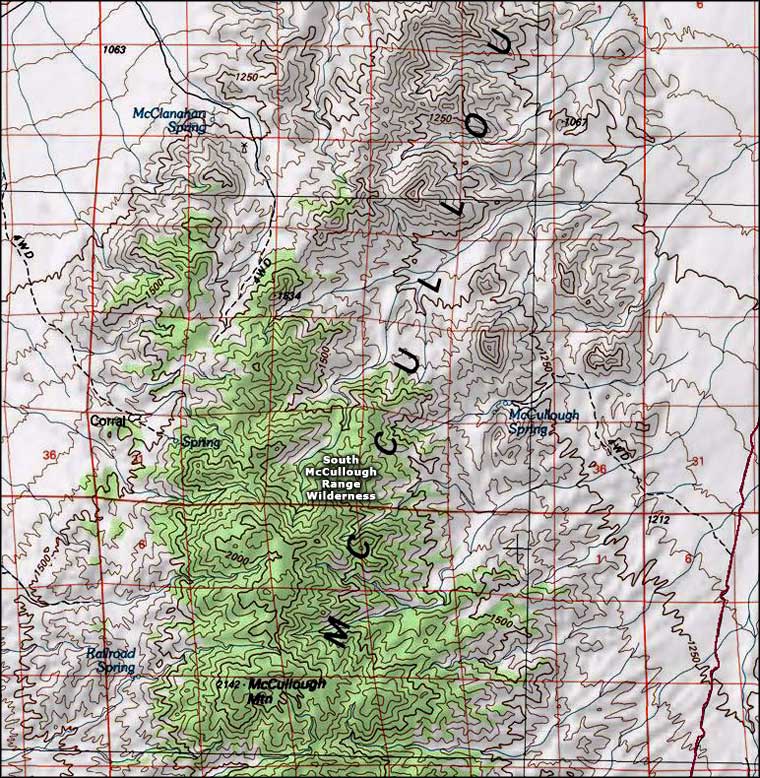 South McCullough Wilderness topo map |
|
|

|
| Index - Arizona - Colorado - Idaho - Montana - Nevada - New Mexico - Utah - Wyoming National Forests - National Parks - Scenic Byways - Ski & Snowboard Areas - BLM Sites Wilderness Areas - National Wildlife Refuges - National Trails - Rural Life Advertise With Us - About This Site - Privacy Policy |
| Upper photo courtesy of James Sippel, via Wilderness.net Map courtesy of National Geographic Topo! Text Copyright © by Sangres.com. All rights reserved. |