 |
South Pahroc Range Wilderness |
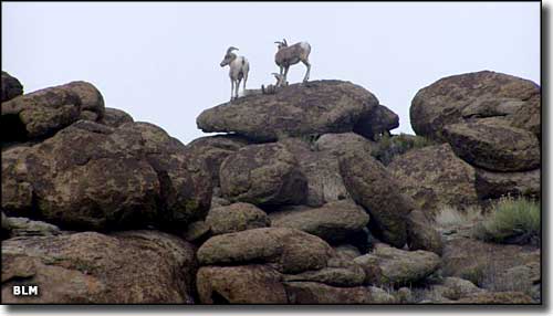 In South Pahroc Range Wilderness |
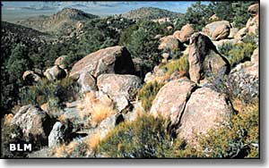
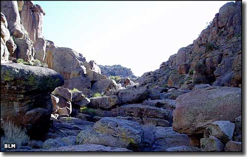
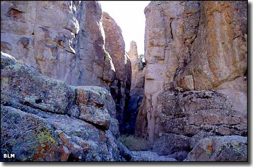
The South Pahroc Range Wilderness encompasses some 25,800 acres in the extremely rugged South Pahroc Mountains. Most of the range is a single volcanic massif of multi-colored layers of welded tuff that has eroded into a wild cacophony of stone faces, columns, pockets, holes and large, rounded boulders. The lower elevations are mostly gently rolling bajada with scattered volcanic boulders. As the elevation rises from 5,000' to the highest point at 7,950', the South Pahroc Range creates an "island in the sky" effect. Interlaced with the rocky geological features you'll find stands of aspen, white fir and pinon/juniper. Scattered through the countryside you'll find bighorn sheep, mountain lion, mule deer, prairie falcons and golden eagles. This is another Nevada rock-scrambler paradise. High in the range you'll get views of huge barren desert valleys lined with chains of sharp mountains that fade into the distance. Watch where you walk: there's obsidian, feldspar crystals and "Apache tears" in some areas. Access is via an unnamed county road off US 93, 28 miles west of Caliente. The county road drops you at the eastern border of the South Pahroc Range Wilderness. |
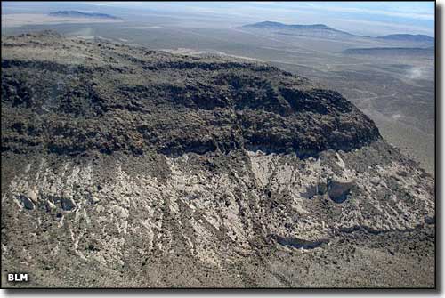 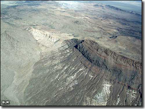   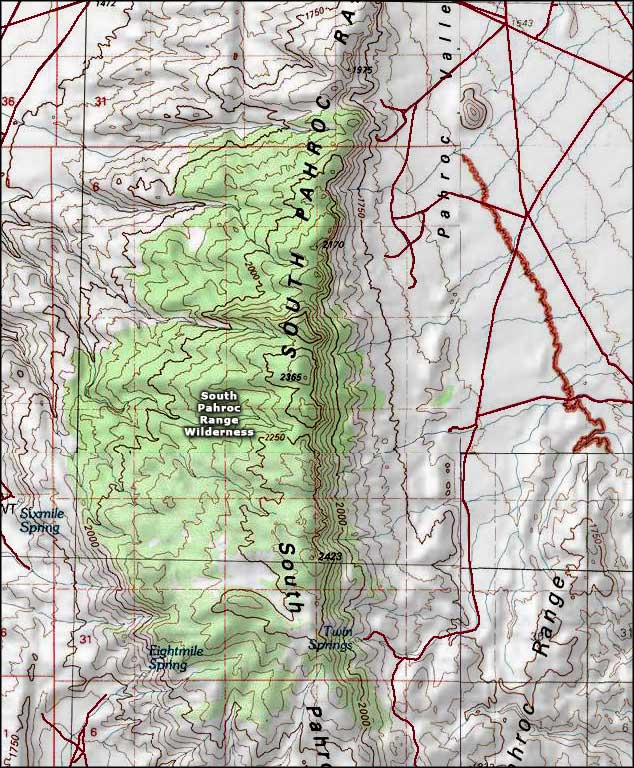 South Pahroc Range Wilderness map |
|
|

|
| Index - Arizona - Colorado - Idaho - Montana - Nevada - New Mexico - Utah - Wyoming National Forests - National Parks - Scenic Byways - Ski & Snowboard Areas - BLM Sites Wilderness Areas - National Wildlife Refuges - National Trails - Rural Life Advertise With Us - About This Site - Privacy Policy |
| Photos of the South Pahroc Range Wilderness courtesy of the Bureau of Land Management. Map courtesy of National Geographic Topo! Text Copyright © by Sangres.com. All rights reserved. |