 |
Lovelock Cave Back Country Byway |
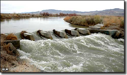 The Humboldt River along the Lovelock Cave Back Country Byway |
|
In driving the Lovelock Cave Back Country Byway, you are crossing the bottom of ancient Lake Lahontan, an Ice Age lake that covered much of Nevada more than 14,000 years ago. The Byway is only 20 miles long but you might take up to 3 hours to enjoy your visit. Part of the route is SR 397, part of the route is beside the Humboldt River on the old California Trail. Lovelock Cave itself was an archaeological treasure chest when it was first opened up. Some of the artifacts found inside dated to more than 2,000 years old. There were textiles, woven baskets and some beautiful duck decoys attesting to the skill and ingenuity of those ancient weavers and hunters. The ceiling of the 150' by 35' cave is still soot-stained from those ancient times. At the cave you'll find restrooms, interpretive signs and a nature trail. If you look closely at the hillsides in the distance you'll see the step-like horizontal lines etched into the mountains by the varying shorelines of ancient Lake Lahontan. Lake Lahontan was so deep at times that the mountain peaks you see were sometimes little islands, and sometimes under the water. |
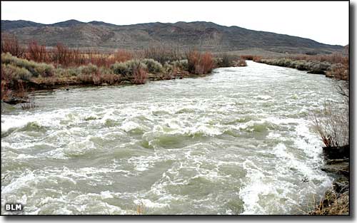 The Humboldt River just above the Humboldt Wildlife Management Area 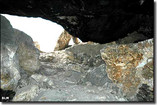 Looking out through the entrance to Lovelock Cave 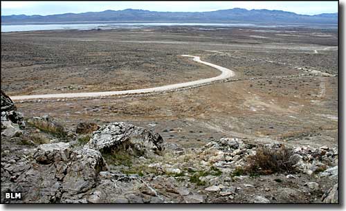 Looking west toward the Humboldt Wildlife Management Area from Lovelock Cave 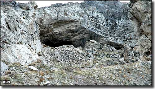 The entrance to Lovelock Cave from outside 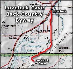 Lovelock Cave Back Country Byway area map |
|
|

|
| Index - Arizona - Colorado - Idaho - Montana - Nevada - New Mexico - Utah - Wyoming National Forests - National Parks - Scenic Byways - Ski & Snowboard Areas - BLM Sites Wilderness Areas - National Wildlife Refuges - National Trails - Rural Life Advertise With Us - About This Site - Privacy Policy |
| Photos courtesy of the Bureau of Land Management Area map courtesy of National Geographic Topo! Text Copyright © by Sangres.com. All rights reserved. |