 |
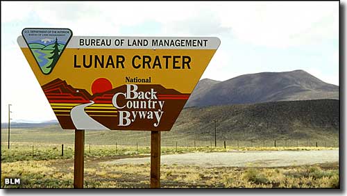
Lunar Crater Back Country Byway |
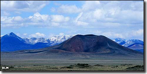 Easy Chair Crater, along the Lunar Crater Back Country Byway |
Lunar Crater has been a National Natural Landmark since it was designated in 1973. The Lunar Crater Back Country Byway that travels through this volcanic area is a 24-mile loop that extends both north and south of US Highway 6 between Warm Springs and Currant. Depending on how often you stop, this is a 1 to 2 hour drive, but parts of this bumpy and unpaved road want a high clearance vehicle. This volcanic area got the "Lunar" name because of its resemblance to findings on the moon. The volcanic field is complete with cinder cones, basalt flows and 20 or more extinct volcanoes near by. Easy Chair Crater (pictured above) is one of the first volcanic cones you come to after leaving the pavement. All that volcanic soil usually makes for incredible wildflowers in season... and depending on how much rain there's been lately there might even be some water on the floor of Lunar Lake. Back in the days of the Apollo Space Program, NASA used this property as a training ground for astronauts. They had more than 100 square miles of moon-like surface to work with here. |
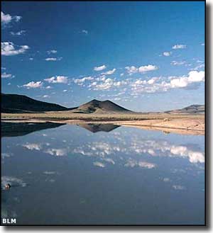
 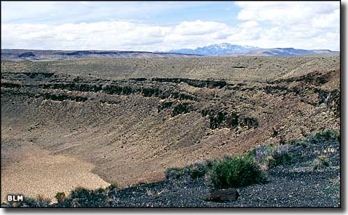 Lunar Crater itself 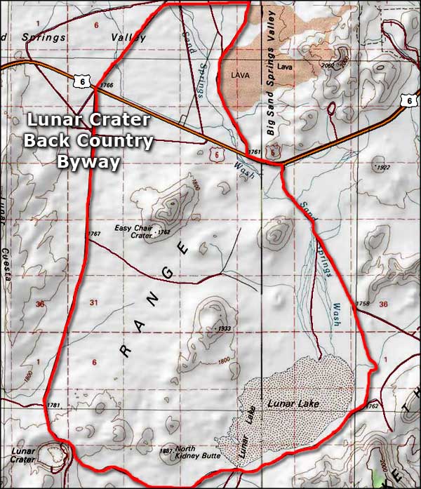 Lunar Crater Back Country Byway area map |
|
|

|
| Index - Arizona - Colorado - Idaho - Montana - Nevada - New Mexico - Utah - Wyoming National Forests - National Parks - Scenic Byways - Ski & Snowboard Areas - BLM Sites Wilderness Areas - National Wildlife Refuges - National Trails - Rural Life Advertise With Us - About This Site - Privacy Policy |
| Upper left photo courtesy of Chris Ross, Bureau of Land Management. Other photos of Lunar Crater area are courtesy of the Bureau of Land Management. Area map courtesy of National Geographic Topo! Text Copyright © by Sangres.com. All rights reserved. |