 |
Stillwater National Wildlife Refuge |
|
|
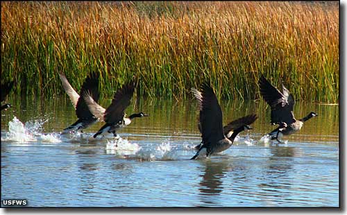
 Geese taking flight at Stillwater National Wildlife Refuge |

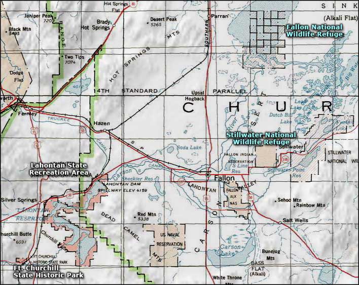
Stillwater National Wildlife Refuge is an 87,271-acre property that abuts the Fallon National Wildlife Refuge. Located in the Lahontan Valley near the town of Fallon, Stillwater National Wildlife Refuge is listed as a "globally important bird area" by the American Bird Conservancy. The wetlands here attract more than a quarter million waterfowl every year, including American white pelicans, White-faced ibis, Double-crested cormorants and several species of gulls, terns, egrets and herons. More than 280 species have been recorded in the area. The US Fish & Wildlife Service manages this property purely for the birds. Water impoundments get flooded and drained regularly, different areas of the property get burned every year, crops of various gourmet bird foods get planted every year... but as wondrous as this might be for the birds, humans get the short end of the stick. There is no visitor center, no drinking water, almost no amenities of any sort. The roads are primitive and unpassable when wet. There is a marked auto tour route with orientation and interpretive signs and several comfort stations along the way but the route isn't graveled either. Camping and campfires are not allowed on the property but if you go out here and it starts raining, you might have no choice: the roads turn to slime at the least provocation and it gets almost impossible to move very quickly. Stillwater, Fallon and Anaho Island are all administered by the US Fish & Wildlife Service as parts of the Stillwater National Wildlife Refuge Complex. |
 Stillwater National Wildlife Refuge area map |
|
|

|
| Index - Arizona - Colorado - Idaho - Montana - Nevada - New Mexico - Utah - Wyoming National Forests - National Parks - Scenic Byways - Ski & Snowboard Areas - BLM Sites Wilderness Areas - National Wildlife Refuges - National Trails - Rural Life Advertise With Us - About This Site - Privacy Policy |
| Photo of Stillwater NWR courtesy of JT Schmidt of the US Fish & Wildlife Service. Map courtesy of National Geographic Topo! Text Copyright © by Sangres.com. All rights reserved. |