
El Malpais National Monument
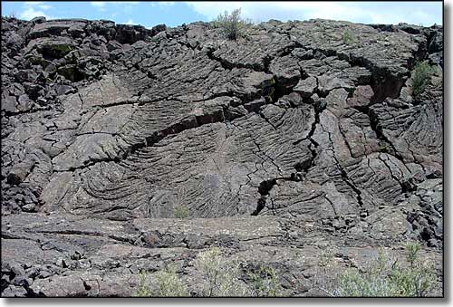
A lava falls at El Malpais National Monument
El Malpais National Monument was designated in 1987 to protect 114,272 acres of volcanic landscape in west central New Mexico. Elevations on the property range from a low of about 6,500' to a high of about 8,300'. While most of the area is covered by lava flows from several different volcanos, some erupting as recently as 1,000 years ago, there are also several well preserved ancient Pueblo Indian sites and the spectacular La Ventana sandstone arch.
Many hiking trails in the area are marked by rock cairns (small piles of rock) because the solidified lava makes it nearly impossible to construct normal trails. At the same time, hikers need to be careful because the ground surface is extremely abrasive and irregular, and pahoehoe lava is a very nasty surface to stumble and fall on.
El Malpais also contains one of the largest lava tube systems in North America, but this is another danger for explorers as sections of these tubes collapse easily under weight. But these lava tubes also create many caves that are freely available to be explored.
The lava flows are in the bottom of a large basin surrounded by higher sandstone ridges and formations that have been eroded into cliffs, pillars and bluffs. Cerro Encierro is one of these bluffs with a good hiking trail on it leading to a spectacular overlook. The La Ventana Arch is on the edge of another eroded bluff and is accessible via a paved road.
Against the National Monument boundary is the El Malpais National Conservation Area.
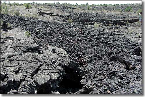
Another lava falls at El Malpais
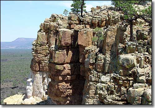
Looking out from the Narrows Rim Trail
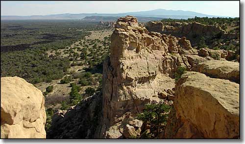
View from the Sandstone Bluffs Overlook
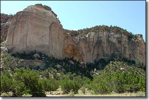
The La Ventana Arch
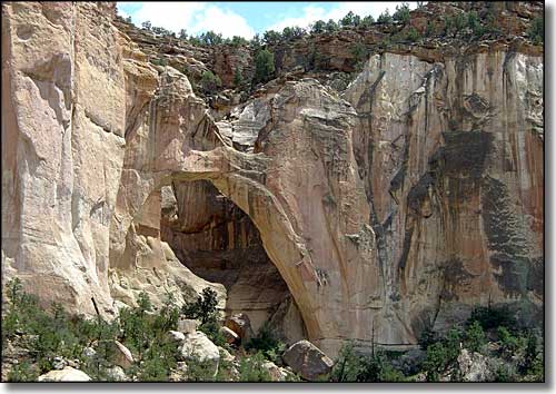
The La Ventana Arch
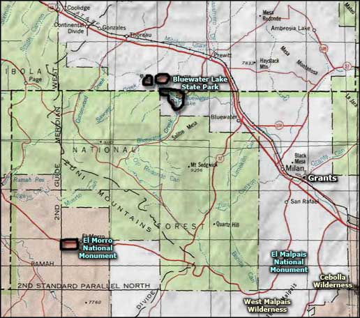
El Malpais National Monument area map
