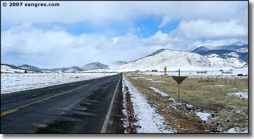
The Enchanted Circle heads north out of Eagle Nest through a wide valley, big mountains on both sides. It's only a couple of miles and you come to the signs for Elizabethtown, an 1800's gold camp that's now pretty much a ghost town. It's an interesting stop, with great views, then the road continues on north, slowly going uphill.
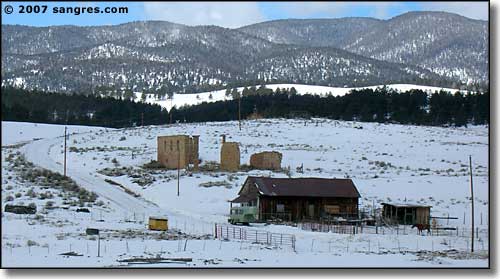
Elizabethtown from the road
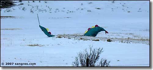
A bit north of Elizabethtown
The road wanders back and forth across several nice ranches before turning west and seriously heading up the hill. When it makes the turn, the valley gets narrow with a creek down below and some nice stands of aspen. I took these photos on March 1 and the sky was reasonably blue but I could see weather happening up above. In several spots, the snow had blown across the road heavy enough to make things a bit icy but the road itself was in excellent condition.
As I went on up the hill, the blowing snow got heavier and heavier until I finally came out atop Bobcat Pass (9,820'). Here, the wind was howling and the snow was blowing. It was stark raving beautiful (maybe that five years I spent in the Arctic did something to me). I got out and shot quite a few photos in all directions. Then I started down the hill towards Red River.
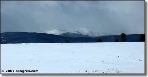
Some weather happening to the south
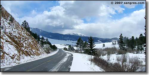
Looking back east, just west of the turn in the road
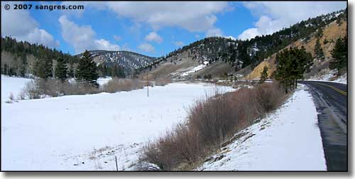
And the hill starts to really go up from here
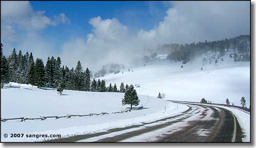
Looking northwest at Bobcat Pass
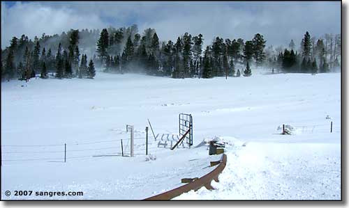
Looking north at Bobcat Pass, check out the snow blowing in the trees
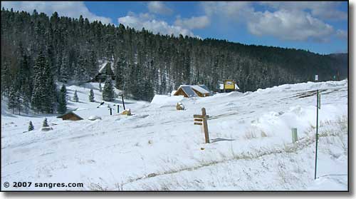
This is where the road goes in to the Enchanted Forest Cross Country Ski Area
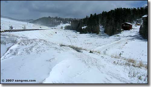
Looking back uphill to Bobcat Pass
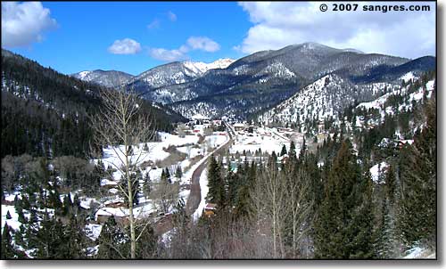
Coming down the hill into Red River
It's not too far down the hill, although it is pretty steep, to Red River. The views are gorgeous with Carson National Forest on both sides of the road. The drop into town is sudden, and very fast: don't blink or you'll miss the view. And parking on the hill going down kinda sucks because of the rockfall danger, never mind the avalanche danger this time of year.
