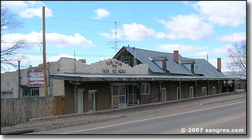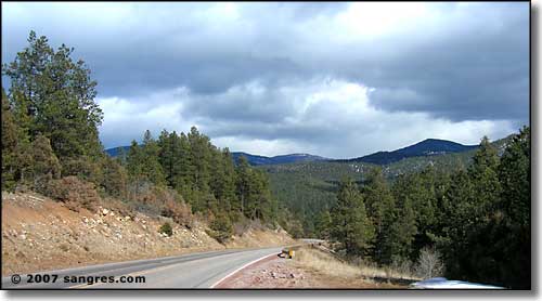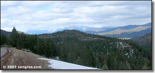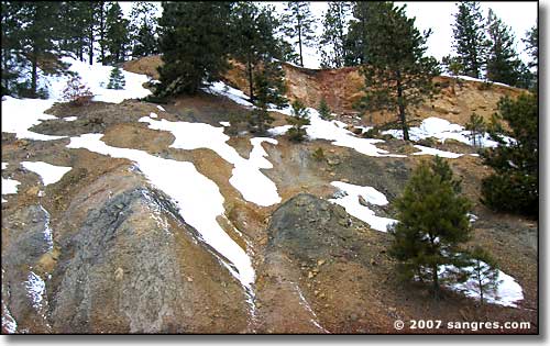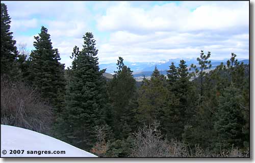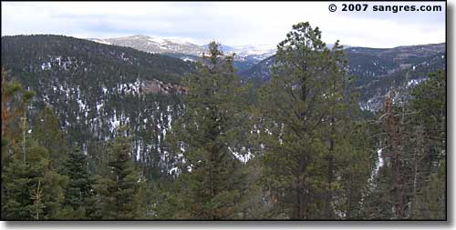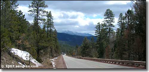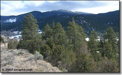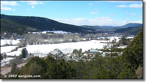
The High Road to Taos leaves the main traveled route along the Rio Grande and heads southeasterly into the mountains. (In case you aren't following my direction, I'm driving it backwards today: Taos to Santa Fe.) In the early days of Spanish settlement, this route crossed over to the east side of the Sangre de Cristo's and went down into the valley of Mora, once a main center of Spanish colonization and influence. Along the way, the route dropped into the Valley of Vadito (in the area of Picuris Pueblo). From there, you could continue southeasterly over the spine of the mountains or go southerly through Las Trampas, Ojo Sarco, Truchas and Chimayo, where you were back on the edge of the Valley of the Rio Grande. The High Road goes southerly.
