
San Antonio, New Mexico
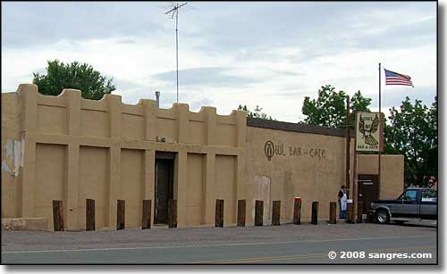
Where US Highway 380 crosses El Camino Real in downtown San Antonio
San Antonio is another old village founded on the route of El Camino Real, the primary Spanish route connecting northern New Mexico with Chihuahua and points further south. San Antonio is right down in the bosque along the banks of the Rio Grande (the Rio Grande crossing is just east of the main part of the townsite). There are a couple of nice Bed & Breakfasts in San Antonio but the primary business center of Socorro County is Socorro itself, up the I-25 about 10 miles.
San Antonio is where US 380 intersects with the I-25, US 380 heading east to Carrizozo, Capitan and Roswell. This is mostly an agricultural area but the Stallion Range Center of the White Sands Missile Range is nearby, and a lot of folks stationed there live in San Antonio. It's through the Stallion Gate that public access is allowed twice a year (1st Saturday in April and October - to get in you need a reservation and you ride their bus) to the Trinity Site, site of the first atomic bomb explosion.
The famous Conrad Hilton was born in San Antonio. Hilton was one of the original legislators when New Mexico became a state, before he founded the Hilton Hotels Corporation. There is a local barn that was previously a mechanic's garage that was previously the schoolhouse that has "C Hilton 1903" carved into one of the walls.
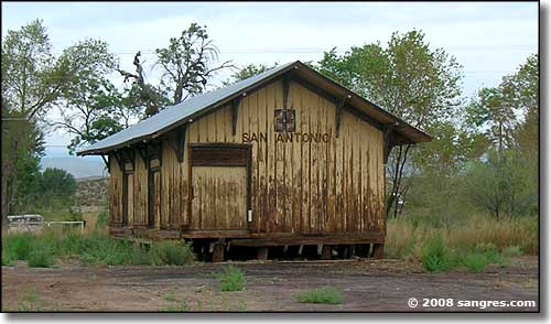
The BNSF train station at San Antonio...
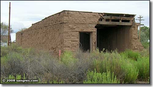
An original construction in San Antonio
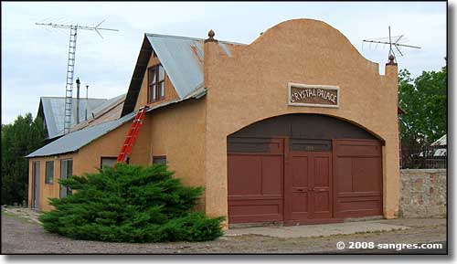
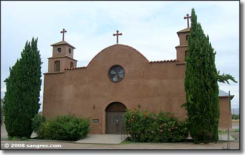
Unincorporated
Elevation: 4,568'
Longitude: 106.8600°W
Population Demographics: 2010
| Total Population | 165 |
| Males | 77 |
| Females | 88 |
| Population by Age | |
| Under 18 | 31 |
| 18 & over | 134 |
| 20-24 | 3 |
| 25-34 | 14 |
| 35-49 | 29 |
| 50-64 | 40 |
| 65 & over | 46 |
| Population by Ethnicity | |
| Hispanic or Latino | 91 |
| Non Hispanic or Latino | 74 |
| Population by Race | |
| White | 158 |
| African-American | 0 |
| Asian | 1 |
| Native American | 1 |
| Hawaiian or Pacific Islander | 0 |
| Other | 5 |
| Two or more | 0 |
