Capitan Mountains Wilderness

In the Capitan Mountains Wilderness
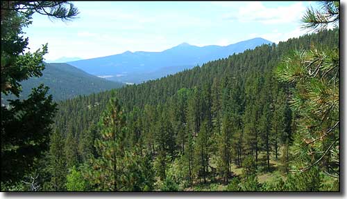
The 34,658-acre Capitan Mountains Wilderness straddles some very rugged mountain countryside in central New Mexico. These mountains are different in that they run east-to-west instead of New Mexico's usual north-to-south. The north slopes of the range are characterized by deep, rocky canyons while the south slopes are more gentle with many rocky outcroppings.
Elevations range from about 5,500' on the eastern edge to 10,083' at the summit of Capitan Peak. About midway up the slope, the pinons and junipers give way to ponderosas, while the top ridges are covered with corkbark and Douglas fir, Engelmann spruce and lodgepole pine.
As this is the original homeland of Smokey the Bear, you know these woods support a good population of black bear, mule deer and wild turkey, not to mention a few bobcats and mountain lions. There are several places where the brook trout fishing is good, and the hunters flock in here pretty heavy in the fall.
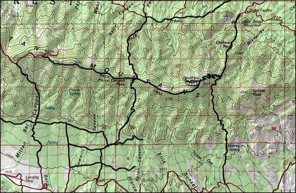
There are maybe a dozen maintained trails in the Capitan Mountains Wilderness. The one with probably the most and best views is the Summit Trail, 8.2 miles along the main ridge of the Capitan Mountains. The busiest trail in these woods is the Capitan Peak Trail: 5.7 miles of steep switchbacks pushing hard all the way to the summit of Capitan Peak.

Capitan Mountains Wilderness topo map

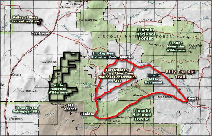
Capitan Mountains Wilderness area map
