 |
Panoramic Close Up Photos
|
|
I seem to drive around the Sangre de Cristo Mountains a lot, in all different seasons. These photos were all taken in late January and early February, 2008. We've been having a real Colorado winter this year and the snow levels are higher than usual (although it may not look that way from these photos). This area of Colorado is seeing 168% of normal snowpack already and several people have died in avalanches this year. As the winter goes on, the avalanche danger just increases. On some of the lower photos on this page the mountains look kinda fuzzy: that's the snow blowing in the breeze. There's no clouds to speak of, it's all blowing snow at high elevations. I took some of the lower photos on February 8, 2008. On that day, because of blowing snow and avalanche danger, the I-70 was closed for a very long stretch, US 24 and 285 in the Buena Vista area were both closed, and US 50 through Monarch Pass was being closed that afternoon to do avalanche mitigation. I drove Cuchara Pass, La Veta Pass and Poncha Pass both ways that day and the roads were horrific (icy, snow-packed and heavy cross winds), never mind all those accidents with the folks in their fancy SUV's (owning an SUV doesn't automatically mean the driver knows how to drive, only that he thinks he's safer if he gets into trouble - what was the name of that movie? Oh yeah, Unsafe at Any Speed...) |
| Clicking on any of these photos will open a new window or new tab in your browser and bring you a larger version of that photo (1240 x 430). |
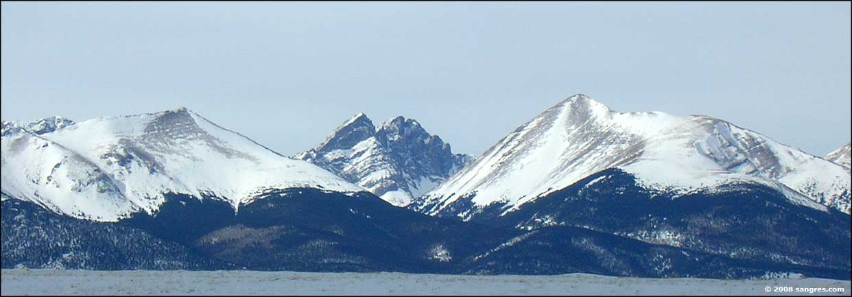 Crestone Needle & Peak with Humboldt to the right 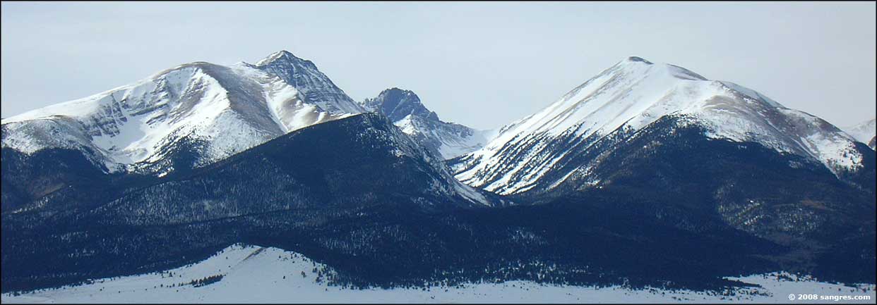 Humboldt, Crestone Peak and Colony Baldy, left to right 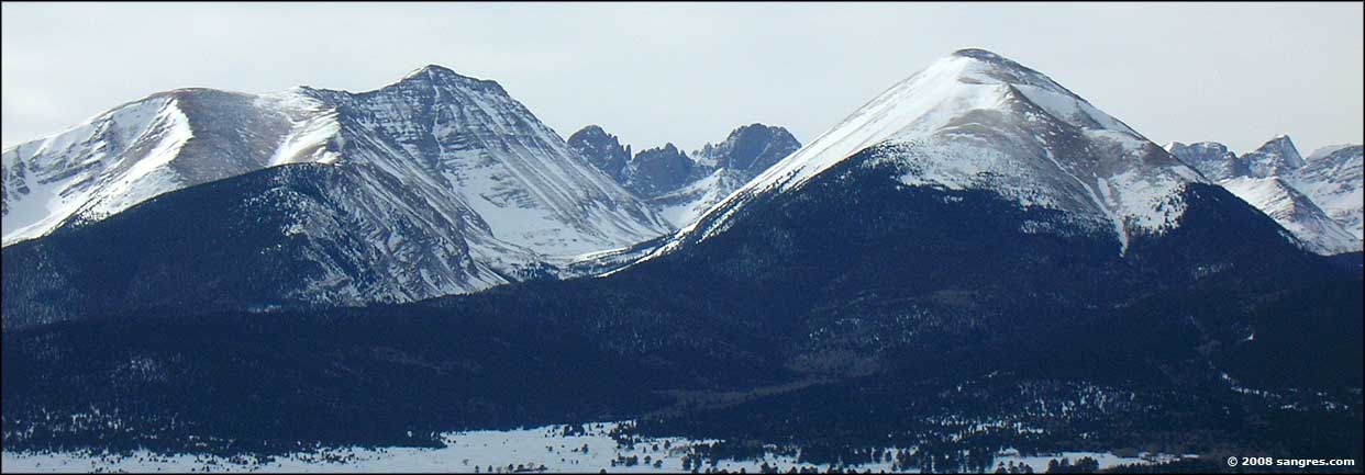 Humboldt, the Crestones and Colony Baldy, left to right 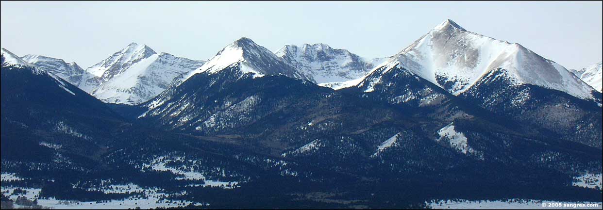 Mt. Adams on the left, Horn Peak on the right  Challenger Point, Kit Carson Peak, Columbia Point and then the Crestones, left to right (from the west) 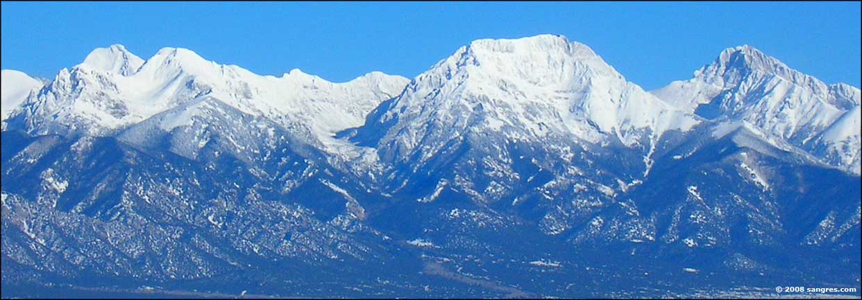 Mt. Adams, Challenger Point, Crestone Peak, left to right, from the west  Little Bear, Blanca Peak, Mt. Hamilton, left to right 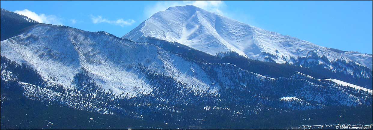 Twin Peaks, from just south of the Great Sand Dunes 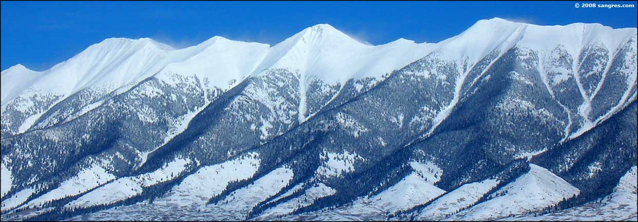 Looking east near Villa Grove, upper San Luis Valley 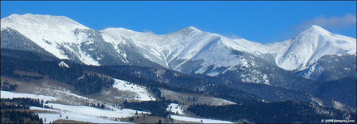 Looking southeast from the summit of Poncha Pass  Mt. Ouray, on the west side of Poncha Pass, lots of blowing snow |
Related Pages
The Crestones - Sangre de Cristo's from Custer County - San Isabel National Forest
Westcliffe - Kit Carson Mountain - Sangre de Cristo Mountains Custer County - Photo Gallery Index Colorado Pages
Towns & Places - Scenic Byways - State Parks - BLM Sites - History & Heritage Ski & Snowboard Areas - Photo Galleries - Colorado Mountains - Scenic Railroads Unique Natural Features - Wilderness Areas - Outdoor Sports & Recreation Colorado's National Forests - National Wildlife Refuges - Colorado's National Parks |
 |
| Index - Arizona - Colorado - Idaho - Montana - Nevada - New Mexico - Utah - Wyoming National Forests - National Parks - Scenic Byways - Ski & Snowboard Areas - BLM Sites Wilderness Areas - National Wildlife Refuges - National Trails - Rural Life Advertise With Us - About This Site - Privacy Policy |
| Photos courtesy of Sangres.com, CCA ShareAlike 3.0 License. Text Copyright © by Sangres.com. All rights reserved. |