
Fish Springs National Wildlife Refuge
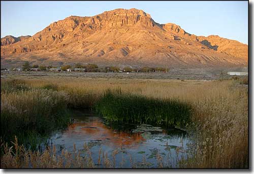
Middle Spring at Fish Springs National Wildlife Refuge
Fish Springs National Wildlife Refuge is located in the Fish Springs marshes at the southern end of the Great Salt Lake Desert. This is a remnant of the ancient Lake Bonneville, an ice age lake that slowly drained off and evaporated to where Fish Springs is one of the few remnants left. The refuge was established in 1959 to preserve and protect important habitat for migrating and wintering birds. 10,000 acres of this 17,992-acre refuge are lush, spring-fed marsh and wetlands. To maintain water levels and keep the productive wetlands habitats viable, the refuge staff maintains more than 40 miles of roads, dikes and ditches, plus more than 115 other water control structures.
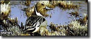
On a 6-year-long rotating cycle, all of the refuge's water impoundments are drained to mimic the drying processes that would naturally occur as a wetlands went through a normal drought cycle. During that same 6-year rotation, every parcel of the refuge gets burned, too, to release nutrients back into the matrix and to clear out the residual vegetation. The diverse array of plant communities and water depths at Fish Springs National Wildlife Refuge provides critical habitat for almost 280 species of migratory birds, 14 reptilian species, 44 mammalian species and 3 species of fish.
To get there: take the I-80 west from Salt Lake City to exit 99 (Utah Highway 36). Follow Highway 36 south for about 40 miles to the junction with the Pony Express Trail Back Country Byway, just east of Faust. Take the right and follow that dirt road for about 61 miles to the Fish Springs NWR entrance.
From Delta: go north on US Highway 6 to Utah Highway 174. Go left on Highway 174 for 42 miles to the end of the pavement, and keep going another 15 miles to the junction with the Pony Express Trail Back Country Byway. Go left about 3/4 miles to the refuge entrance. The Refuge Headquarters is about 7 miles in from the east entrance. The refuge office is open 7 am to 4:30 pm Monday to Friday.
The first settlement at Fish Springs was a Pony Express and Overland Stage station. The station was built here because of the natural springs. The springs are located along a fault line at the edge of the Fish Springs Range. Geologists think the water is the end of a water flow that begins in the Snake and Schell Creek Ranges to the west. The water flows through either permeable bedrock (limestone) or along a series of ground faults to Fish Springs. The outflow at Fish Springs is around 27,500 acre-feet per year while the annual recharge from the Fish Springs Range and the drainage to the east amounts to maybe 4,000 acre-feet. The water is also a bit warm (about 80°F) and highly saline (suggestive of a long journey cross-country underground).
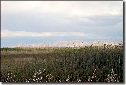
Marshlands at Fish Springs NWR
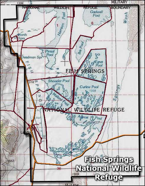
Fish Springs National Wildlife Refuge topo map
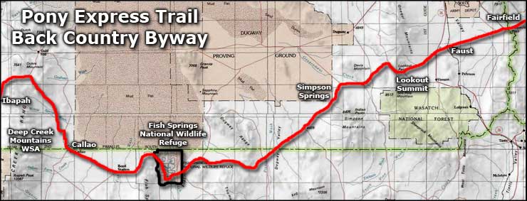
Fish Springs National Wildlife Refuge area map
