Savage Run Wilderness
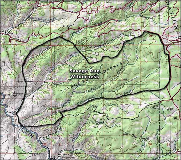
The Savage Run Wilderness is 14,927 acres on the west side of the Medicine Bow Mountains. Savage Run Creek flows through the area in a roughly east-west direction. Elevations vary from around 8,000' at the bottoms of the steep-sided canyons to about 10,000' on top of the rolling plateaus. The Wilderness is mostly forested with ponderosa and limber pine, Engelmann spruce, Douglas and subalpine fir, cottonwoods and aspens. Savage Run Creek makes for some excellent trout fishing while the forest holds a large population of deer and elk.
The Savage Run Trail follows the creek for about 9 miles, the elevation change of 2,400 feet explains the "more difficult" rating. A quicker way in or out is along the Cottonwood Trail. Two miles in from the southern boundary of the Wilderness, this also strenuous trail intersects with the Savage Run Trail.

Savage Run Wilderness map

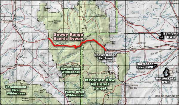
Savage Run Wilderness area map
Bamforth National Wildlife Refuge - Mortenson Lake National Wildlife Refuge
Hutton Lake National Wildlife Refuge - Snowy Range Ski Area - Snowy Range Scenic Byway
