
Kanab Creek Wilderness
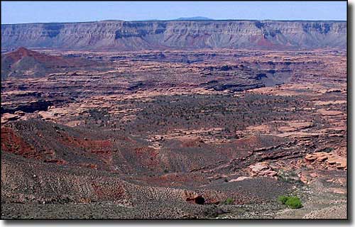
View from the edge of the rim: Jumpup Canyon Trail
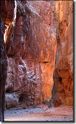
Kanab Creek Wilderness is a 75,300-acre property on the north side of the Grand Canyon. Kanab Creek is a major tributary of the Colorado River wih a source some 50 miles to the north in southern Utah. Along the trip downhill, this creek cuts a canyon that drains a large area of deep gorges cut into the walls of the Kanab and Kaibab Plateaus. Elevations vary between 2,000' at the Colorado River to about 6,000' on the rim. The plateaus above are arid with sparse vegetation while the canyon bottoms are often gorgeous riparian zones.
Most of the slopes in this wilderness exceed 40° and the canyon walls have been eroded into intricate sculptures of knobs, potholes and fins in many places. The upper areas support desert bighorn sheep, Kaibab mule deer and almost all the chukar partridges in Arizona. The lower regions support lots of reptiles, snakes, birds, and lizards.
The trails in Kanab Creek Wilderness are quite strenuous and minimally maintained, and trail conditions vary with the season. Since road access on the western side of Kanab Creek Wilderness is almost non-existent (it's a long ways in via the Arizona Strip), most folks start in from the eastern side. The easiest trailhead to find is about 27.5 miles south of Fredonia.
In hiking around out here you may come across some great examples of ancient Native American petroglyphs.
You'll cook here in summer, so the best seasons for exploring this wilderness are spring and fall (winter often sees good snowfall). As only a few springs and a couple of seeps provide water year-round, you'll want to bring lots of your own. Even Kanab Creek doesn't flow year-round, and when it is flowing, you'll need to thoroughly treat the water before trying to use it. Monsoon season in July and August can bring flash floods. In some areas you may come across driftwood well up on the canyon walls, attesting to the size and depth of some water flows that occur in this area. Depending on where you go in the Kanab Creek Wilderness, you may want shoes that don't mind walking in the flowing creek as that's one of the best (and only) routes you'll find.
To reach the western side of Kanab Creek Wilderness, take the Mt. Trumbull Road (Mohave County Road 109) south from SR 389 to Hacks Canyon Road (BLM 1023 - and high clearance 4WD only). The eastern side can be reached via FR's 22,201,233 and 423 off of US 89A. The easiest way to find your way around: get a copy of the Arizona Strip District Visitor Map.
USGS Maps: 7.5 minute: Gunsight Point, Toothpick Ridge, Grama Spring, Sowats Spring, Jumpup Point, Kanab Point, Fishtail
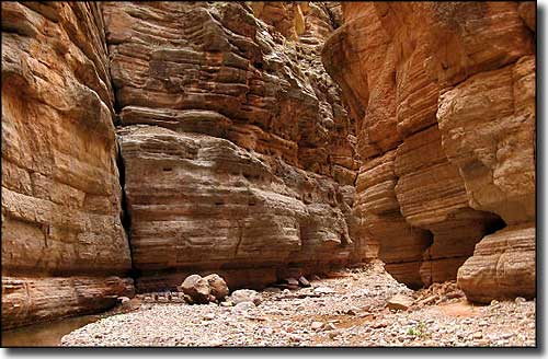
At the bottom of Kanab Creek Canyon
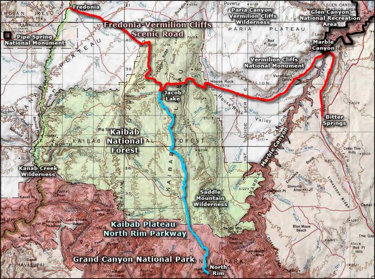
Kanab Creek Wilderness area map
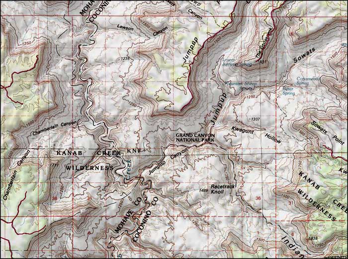
Kanab Creek Wilderness map
