Fredonia-Vermilion Cliffs Scenic Road

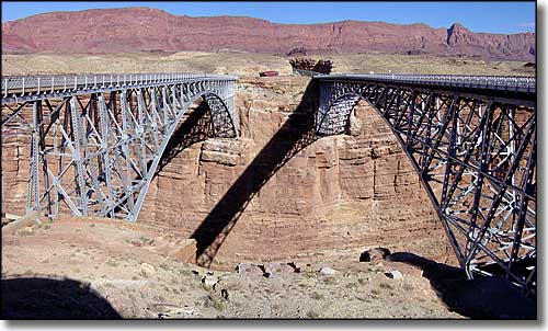
The Navajo Bridges span the Colorado River at Marble Canyon
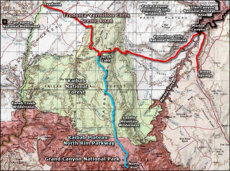
The Fredonia-Vermilion Cliffs Scenic Road travels US 89A from Fredonia to the junction with US 89 south of Page, Arizona. From Fredonia to House Rock the route is crossing the Kaibab Plateau with the multi-colored sandstone cliffs off to the north. From House Rock to Marble Canyon the route is traveling along the foot of the Vermilion Cliffs as they rise to the Paria Plateau. Once across the Navajo Bridges at Marble Canyon, the route turns south along the foot of the Echo Cliffs and ends at the junction with US 89 at Bitter Springs.

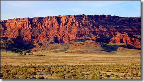
The Vermilion Cliffs
The Kaibab Plateau is a subsection of the greater Colorado Plateau. The Kaibab Plateau is bordered on the east and west by the Colorado River, and on the south by the Grand Canyon. To the north rise the great cliffs of Grand Staircase-Escalante National Monument. The area is heavily forested with an altitude-dependent mix of spruce-fir, aspen, ponderosa pine and pinon-juniper. A large portion of the Kaibab Plateau is contained within the Kaibab National Forest. With a high elevation of 9,241', the Kaibab Plateau often sees up to 200" of snow in season. Between Fredonia and Marble Canyon is Jacob Lake, turnoff point for the Kaibab Plateau-North Rim Parkway, a scenic byway that leads south to the North Rim of the Grand Canyon.

Fredonia-Vermilion Cliffs Scenic Road area map
