Mount Tipton Wilderness

Mount Tipton Wilderness

Mount Tipton Wilderness covers some 30,760 acres in the northern half of the Cerbat Mountains. This area is along the east side of US 93, about 25 miles north of Kingman. The Cerbats are different from the nearby Black Mountains (west of US 93) in that the upper slopes are covered with pinon, shrub live oak, desert ceanothus, and manzanita. The northeast side of Mount Tipton itself (7,148') even has a large stand of Ponderosa pine. And if you make the challenging trek through Mount Tipton Wilderness to the top of Mount Tipton, the views are incredible, including the view down to the north over the Pinnacles: rows of large, tusk-like, maroon-colored spires of rock towering above the open, yellow-desert valleys. The terrain is extremely rugged and there is a severe shortage of trails. Use the sandy washes until you find an old jeep trail or two that makes its way up the hill...
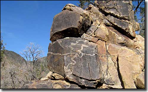
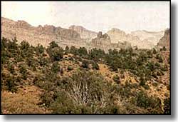
The descending ridgelines of the Cerbats are broken by large granite outcroppings rising above deep washes and small valleys. The color scheme is different with the heavy green of the vegetation contrasted against the gray and red of the granite. The valleys are inhabited by bobcat, kit fox and mule deer while there may be some desert bighorn sheep upslope. There's also quite a few raptors around. Hikers and campers need to bring lots of their own water with them as there isn't much reliable water to be found here. Best time to visit: from October to April, although you need to be aware that is sometimes snows here in the winter.
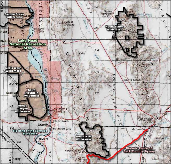
Easiest access to Mount Tipton Wilderness is the Big Wash Road: At milepost 51 on US 93 turn east onto a maintained dirt road (Big Wash Road). Go about 4.5 miles, the wilderness will be on your left. Park along the road but don't ceate a hazard for other vehicles. Easiest access to Mount Tipton itself is through the town of Dolan Springs: the northwest Mount Tipton Wilderness boundary might be 2 miles south of town on Palm Street but it's another 1.5 miles south of that on a jeep trail to the parking area.
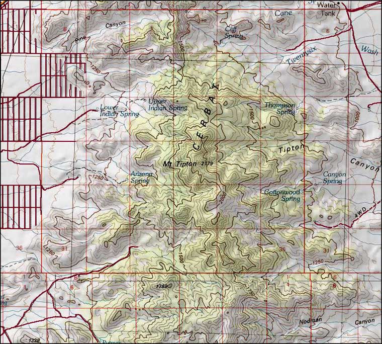
USGS Maps: Mount Tipton, Chloride, Grasshopper Junction, Dolan Springs

Mount Tipton Wilderness area map

Mount Tipton Wilderness map
