Mount Nutt Wilderness

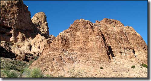
Peaks in the Mount Nutt Wilderness

The Mount Nutt Wilderness is comprised of some 27,660 acres in the Black Mountains of northwestern Arizona. Mount Nutt (5,216') rises above the central and highest portion of the Black Mountains. The main ridgeline of the mountains is a series of mesas that have been heavily eroded into a series of steep canyons. The wilderness encloses about 8 miles along this central ridge and extends out to a ring of volcanic plugs that surround this wild and colorful landscape.
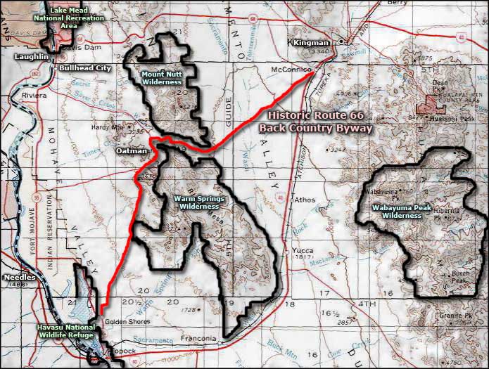
You'll find several small oases of oaks, willows and large cottonwoods in these mountains, fed by the waters of numerous springs. In addition to the normal desert wildlife, there's also more than 100 desert bighorn sheep in these mountains. The Black Mountains are west of US 93, north and west of Kingman. Most folks come here to hike, camp, and hunt, some to climb the rocks, and some to take photographs of the wild volcanic landforms in the special light of sunrise and sunset.
The Mount Nutt Wilderness contains some extremely rugged terrain. Most folks hike in the sandy washes but you might find old jeep trails heading uphill in spots. In the uplands you might also come across usable burro and bighorn sheep trails. Best time to visit the Mount Nutt Wilderness: between October 1 and April 30, and bring lots of your own drinking water.
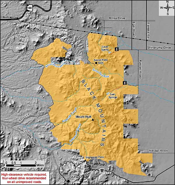
Easiest access is to Cave Spring: Turn west onto SR 68 from US 93 just outside of Kingman. Go west to Estrella Road, then go south 4.7 miles to Shinarump Road. Turn right at Shinarump Road and go 2 miles to Guthrie Road. Turn right onto Guthrie Road and park at the small parking area on the left. Just about any vehicle can get to here, as long as it isn't raining.
USGS Maps: Mt. Nutt, Union Pass, Oatman, Secret Pass

Mount Nutt Wilderness area map

Mount Nutt Wilderness map
