Woolsey Peak Wilderness

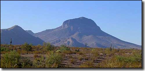
Woolsey Peak in Woolsey Peak Wilderness
The Woolsey Peak Wilderness is about 64,000 acres of jagged peaks, broken ridges, basalt mesas and sloping lava flows in the Gila Bend Mountains of southwestern Arizona. Woolsey Peak (3,270') is a landmark seen from most of southwestern Arizona as the uniquely-shaped lava-dome monolith rises north of the Gila River.
The uplands area is quite rugged while the surrounding area is typical Sonoran desert bajada, landscaped with teddy bear cholla, giant saguaro, creosote bush, paloverde, and bursage. In hiking around out here you might come across bobcats, mountain lions, mule deer, hawks, owls, rattlesnakes, scorpions, and desert bighorn sheep, but you won't come across much water. If you're after climbing Woolsey Peak itself, most of the summit is ringed with cliff bands but there is at least one reasonably easy route that sees maybe a dozen visitors a year... This is an area where you'd rather be visiting some time between October and April.
You can reach Woolsey Peak Wilderness via the old US 80 and Enterprise Road south of Arlington. There are also various jeep trails entending south from the Agua Caliente Road. The road between Gila Bend and Painted Rocks Dam also has several jeep trails leading north to the southern boundary of Woolsey Peak Wilderness. Once you leave the pavement you'll want high clearance and 4WD.
USGS Maps: 7.5 minute: Citrus Valley West, Citrus Valley East, Dendora Valley, Quail Springs Wash, Spring Mountain, Woolsey Peak

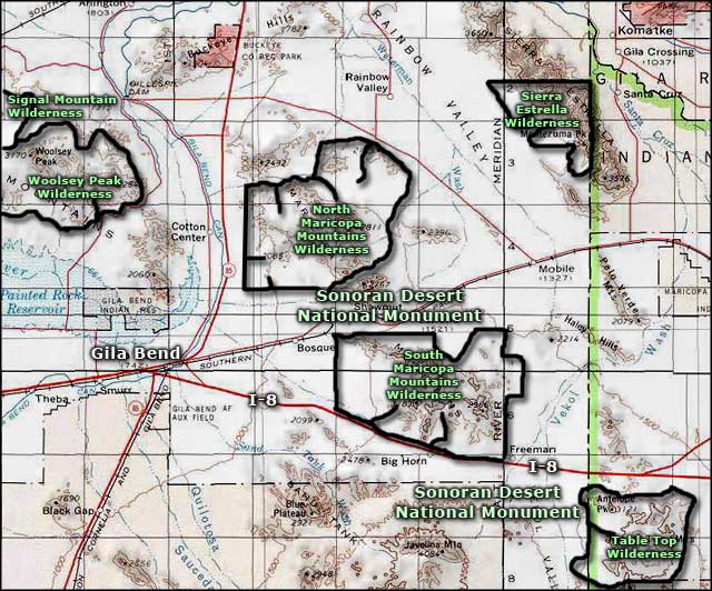
Woolsey Peak Wilderness area map

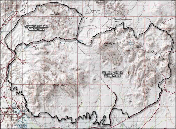
Woolsey Peak Wilderness map
