
Mingus Mountain Scenic Byway
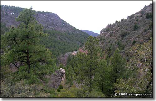
A view southwest from the south side of the mountain
Mingus Mountain separates Prescott Valley from the Verde Valley in north-central Arizona. The Mingus Mountain Scenic Byway is mostly within the Prescott National Forest as it crosses that ridge. The south side of the mountain is heavily treed with a twisty, winding, narrow, twisty, steep, seldom-maintained but paved road. At the summit there is a whole complex of national forest-type recreational features (campgrounds, picnic areas, etc.) The north side of the mountain continues that twisty, narrow, winding, steep and seldom-maintained but paved road. I didn't see any evidence of a mining past on the south side but there definitely is on the north side. And the views on the north side were more spectacular, especially looking out through the canyon across the Verde Valley and seeing the Kachina Peaks rising above the far horizon. The south side of the mountain had some large outcroppings of limestone and granite while the north side tended more to the red rocks of the Sedona formations. And the north side of Mingus Mountain is where the big copper mines were. For that matter, coming down on the north side drops you straight into the historic old copper camp of Jerome.
Did I mention the road is very winding and twisted?
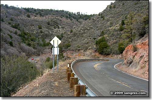
Still on the south side of Mingus Mountain
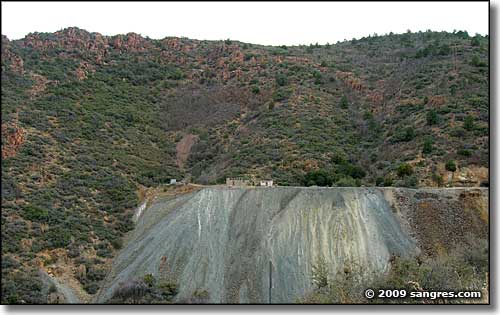
On the north side of the mountain, an old mine site across the canyon
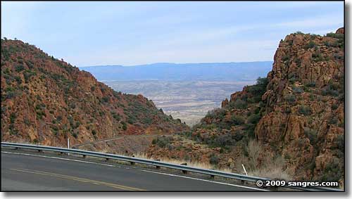
A view to the north across the Verde Valley
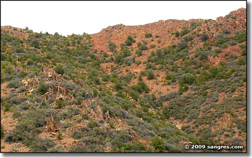
Woodchute Wilderness is up there, just over the ridge
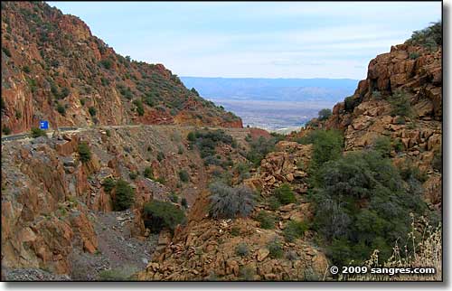
Another view to the north
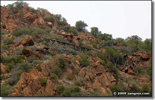
An old water flume high on the ridge
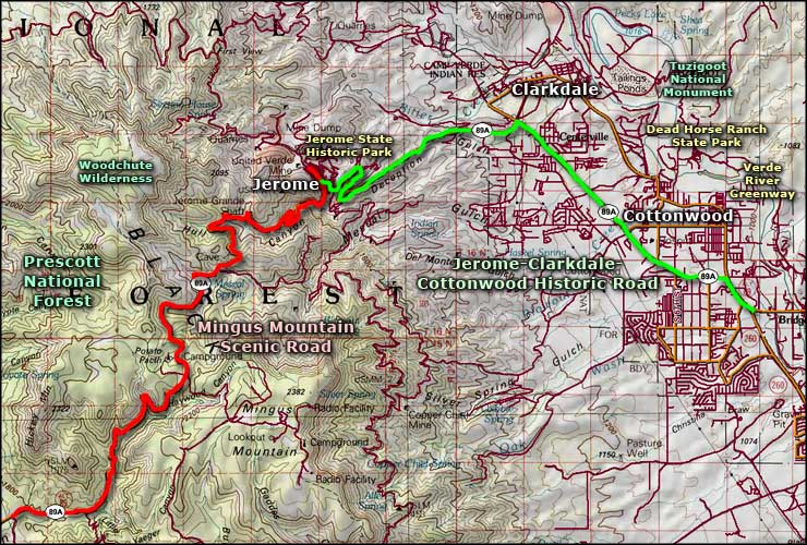
Mingus Mountain Scenic Road area map
