Woodchute Wilderness

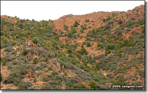
Woodchute Wilderness is just over that upper ridge...
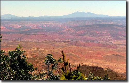
Woodchute Wilderness is a 5,923-acre property within the Prescott National Forest designated in 1984. The elevations range from about 5,500' to about 7,800', with great views of the San Francisco Peaks and all of central Arizona available from the upper reaches. The lower elevations are covered with a pinon and juniper woodland while the upper areas sport Ponderosa pine and Douglas fir.
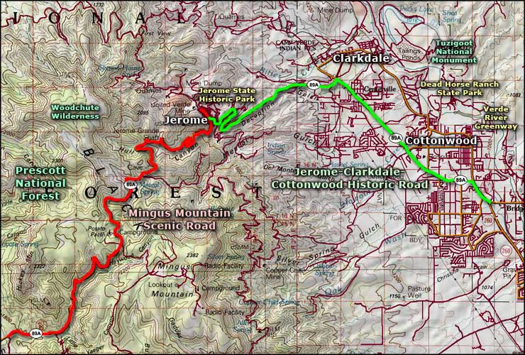
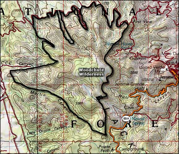
There is only one maintained trail in Woodchute Wilderness, and the hiking of it is pretty easy, although I'd take plenty of my own drinking water with me. There is an old cattle-watering "tank" you'll pass along the trail to the top of Woodchute Mountain (this mountain is more of a mesa than anything else) but it is fed by run-off water only and tends to be dry most of the year. The tank was dug by a bulldozer, probably the same bulldozer that made the original trail. Back in the early days of the copper mines at Jerome, Woodchute Mountain was logged for the timber necessary to stoke the fires in the smelter and for shoring timbers in the mines themselves. The mountain was essentially logged off and the forest that you see now is virtually all second growth. When the mountain collapsed into the mines, the mining operations changed over to an open pit system and the smelter was relocated down the hill to Clarkdale. Back to the trail though, it completely crosses Woodchute Wilderness, south to north. The southern trailhead has been recently reconstructed and is located near the Potato Patch Campground at the top of the pass on Mingus Mountain, beside State Route 89A. From the parking area to the top of Woodchute Mountain is about 2.75 miles with a 600' elevation gain. If you should choose to continue on and descend the northern side of the mountain, it's about 3.5 miles down (and a 2,260' drop) to FR 318, which follows the route of the old narrow gauge railroad line that brought timber down from the mountain to Jerome in the old days. This northern section also has some serious switchbacks along the way. Best time to make the hike: spring and fall.

The view north from the top of Woodchute Mountain

Woodchute Wilderness area map

Woodchute Wilderness map
