White River Scenic Road

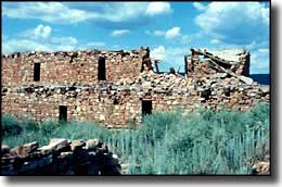
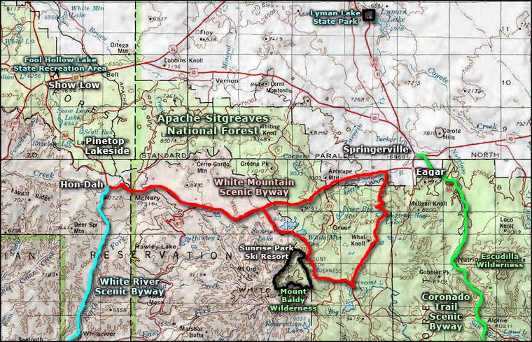
The White River Scenic Road drops down from the top of the Mogollon Rim above Hon Dah and then follows the North Fork of the White River as it continues that descent down to the area of Fort Apache. The entire 11-mile route is part of Arizona Highway 73 on the Fort Apache Indian Reservation. This is a journey from the high Ponderosa forests down into the starkness of the deep canyons eroded into the Mogollon Rim over the last 65 million years. West of Fort Apache is the Kinishba Ruins, an excellent example of a combined prehistoric Mogollon and Anasazi culture. Kinishba is considered ancestral to both the Zuni and the Hopi cultures.
Just below Hon Dah and to the east of the Byway is a road leading to the Williams Creek National Fish Hatchery, a site that has played a leading role in bringing the Apache trout back from the edge of extinction. Williams Creek breeds trout and then raises them to a specific size before releasing them downstream to the Alchesay station where they are held and grown to a size large enough for real travel. From Alchesay, fish are provided to stock lakes and streams on Indian Reservations all over the western states.

White River Scenic Road area map
