
Cuchara River Recreation Area
Trinchera Peak Area
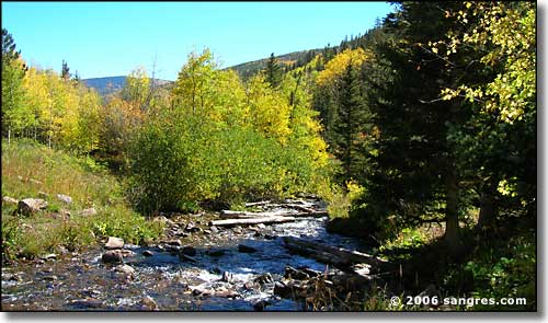
Cuchara River
Cuchara River Recreation Area follows the river upstream, west of State Highway 12, the Scenic Highway of Legends, 4 miles to Blue Lake and the Blue Lake Campground. At the campground is an intersection with a jeep trail heading southwest to the North Fork Trail (1.5 miles) and then continuing on above treeline to the ridgeline that defines the Sangre de Cristo's. From this upper end of the jeep trail you can hike south and up onto Trinchera Peak or go north over a series of lesser peaks to the end of the Forest at Sulphur Springs/Indian Creek. If you don't go left or right (into the Blue Lake Campground), the road heads on another mile and ends at Bear Lake and the Bear Lake Campground.
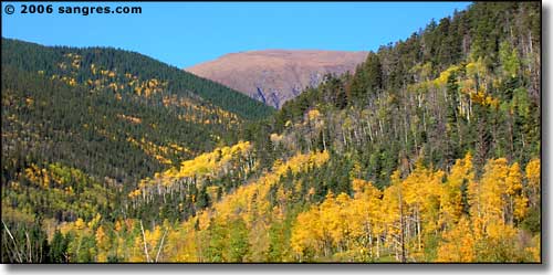
Looking west, up the valley
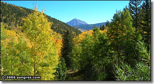
The West Spanish Peak, from the lower part of the road
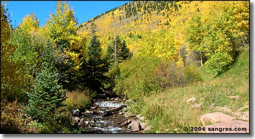
The river becomes a creek as you go up
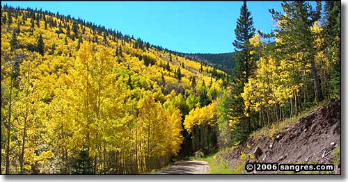
The river is in that cleft in the hill, just right of photo center
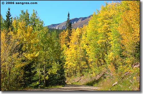
Getting close to Blue Lake
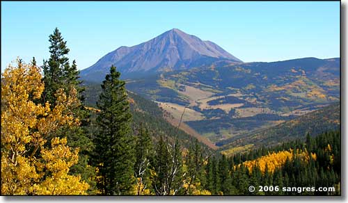
The West Spanish Peak, from between Bear Lake and Blue Lake
Obviously, these photos were taken in the fall. Fall is our driest season and stream flows are at their lowest. The gravel road is in excellent condition but once there is snow on the ground, access to this area is blocked off at the edge of the pavement (at the State Highway). At places along the road there are official picnic areas in place but there is no camping allowed outside the official campgrounds at Blue and Bear Lakes. All facilities are maintained by a private concessionaire and day use fees apply. I'm parroting the official line when I say this but we all know there are primitive campsites scattered through the forest, usually along old 4WD jeep trails such as the one leading to the North Fork Trail from above Blue Lake.
Usually, this area is open by Memorial Day Weekend but in 2005, the glorified snow plow they brought in from Denver made it to Blue Lake only to find 10 feet of snow still standing on top of the picnic tables. If you are coming from a distance for that weekend, it might be good to check this out first.
Directions: Take State Highway 12 south of Cuchara to a sharp turn at the northern foot of Cuchara Pass. Turn onto a well marked dirt road leading west into the National Forest: this is where the Recreation Area begins.
