Colorado National Monument Maps

Monument Canyon
The map here is from the Colorado National Monument official hand-out. It covers 32 square miles of one of the biggest, boldest, most colorful pieces of plateau-and-canyon country in the American West. Situated at the edge of the Uncompahgre Uplift, the park is part of the greater Colorado Plateau which includes such places as Arches, Bryce Canyon and the Grand Canyon.
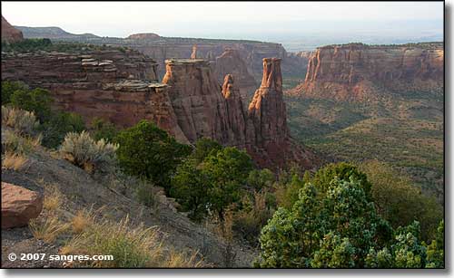
In the canyon bottoms of Colorado National Monument you'll find high vertical cliff walls and huge natural rock sculptures towering overhead: formations with names like Independence Monument (at 450-feet high, the largest free-standing rock formation in the park), Pipe Organ, Sentinel Spire, Kissing Couple, and Praying Hands.

