
Frontier Pathways Scenic Byway
Gardner to Westcliffe
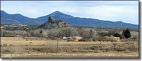
Looking south over Gardner, Gardner Butte and Badito Cone in the distance
This route was a proposed extension to the Frontier Pathways Scenic and Historic Byway that begins in the heart of Gardner and heads north out of town on State Highway 69. Once you leave Gardner the next town is Westcliffe, about 49 miles away. In between is some incredible scenery and lots of history.
The northern part of Huerfano County was settled in the old homestead days but life here is a bit hard and lots of folks moved on after giving it a good try. And once that land was out of government hands and held by private owners, larger operators were able to scoop it up in bigger and bigger pieces. Today, most of the land is held in large cattle/hunting/buffalo ranches. Once you get a couple miles north of Gardner, there are no more small property owners until you cross the Centennial Divide into Custer County. That also means that the countryside is pretty pristine. There are some old homestead remains along the highway but hardly anything new until you enter Custer County. And out in the middle of this big nothingness are some beautiful high mountains beckoning for attention. I look over there and tend to just drool... if only I had more time.
Before you leave Huerfano County, there are several National Forest and Great Sand Dunes access roads heading off to the west. Just out of Gardner is the road heading west to Mosca Pass, Red Wing, Malachite, and the Upper Huerfano Valley. At the south end of Wolf Springs Ranch is the road to Medano Pass and the Great Sand Dunes. There are also a couple of roads heading east to the San Isabel National Forest in the Wet Mountains.
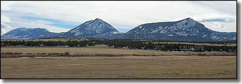
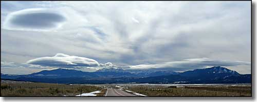
Looking south at Mt. Mestas, Sheep and Little Sheep Mountains
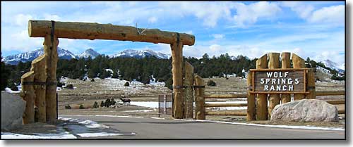
Just below the Centennial Divide and looking west, entrance to the largest ranch in the area
The Centennial Divide is not a major land feature, it just marks the south end of the Wet Mountain Valley. North of here nearly the entire valley floor is hay fields and pastures. There's a lot of water in the ground but the growing season is a bit short (something like 93 days). None of that affects the views: the Sangre de Cristo's just get more spectacular.
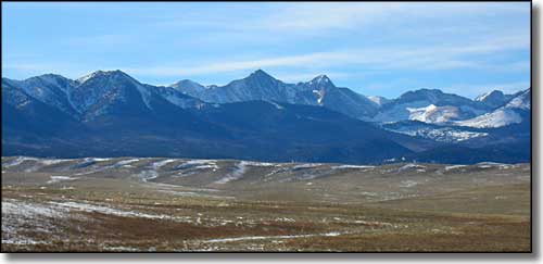
Looking west from the Centennial Divide (county line)
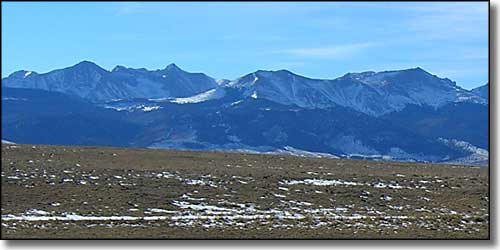
Looking south from the Centennial Divide, Blanca Massif in the center
Looking southwest from the Centennial Divide
The airport area is just about due east of the ill-fated German Colony of 1870. Theirs was the first attempt in America to take immigrants from the dirty factories, alleys and cellars of an Eastern city (Chicago, in this case) and settle them on raw farm land. These were brave people who took on an almost impossible task, and they inevitably made mistakes. There were failed crops, mismanaged funds, poor leadership, and a very early winter that first year. The situation was so bad that the Colonization Company folded that first fall and most of the families left the area.
Several miles north of the airport is Colfax Road on the west (Colfax Road actually runs south). Several miles south of the highway Colfax Road connects to the road to Music Pass and the famous 4WD road leading into the South Colony Lakes area and Crestone Peak, Crestone Needle and Humboldt Peak.
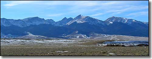
The Crestones, Marble Mountain and Humboldt Peak
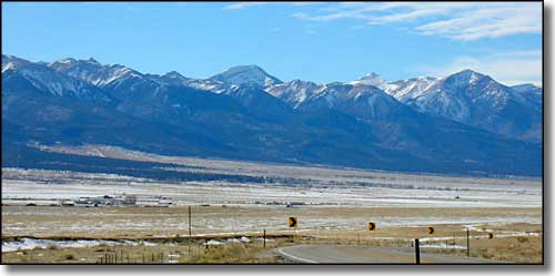
Looking northwest just south of Westcliffe
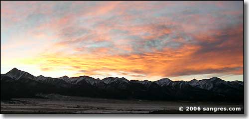
Sunset, from just south of Westcliffe
As you get closer to Westcliffe that wall of mountains to the west seems to turn and head off to the northwest. At a certain point near the edge of town you can see the Collegiate Peaks in the Sawatch Mountains off in the distance. Then you're in Westcliffe.
As I said above, this leg of the route was a proposed extension to the Frontier Pathways Scenic Byway. Somewhere along the line, it seems to have fallen through the cracks and the paperwork stopped at a certain point and was never picked up again. Too bad: it would have made a beautiful addition to the scenic byway.
