
San Juan Skyway, Silverton to Durango
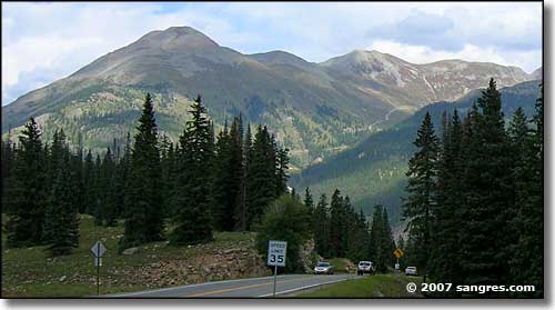
Kendall Mountain, from the southwest
From Silverton, the road rises again to Molas Pass. The first part of the journey is just up, and up, and up. The canyon you are rising through carries the Animas River at the bottom of it. The canyon itself gets far too narrow for the road so the road eventually climbs out of the canyon and heads southwest just north of Molas Lake. Some great views to the east through here but they get better as you approach Molas Lake and Molas Pass. There's a camping area round Molas Lake if you want. There's a big turnout/overlook at the summit of Molas Pass. Then starts the long drop to Lime Creek.
There's a switchback when you finally cross Lime Creek. For the hunters, that switchback is at the edge of the Lime Creek State Trustlands. The road drops a bit further as it follows Lime Creek for a way, then rises again over the shoulder of the hill to reach Coal Bank Pass. Engineer Mountain stands sentinel over Coal Bank Pass and is a huge chunk of striated rock reaching half-a-mile into the sky above the road. Then begins the long descent to Durango. I would have had more photos of this section of road but the rain finally came on and stayed until just north of Durango. Then it was too late for me that day...
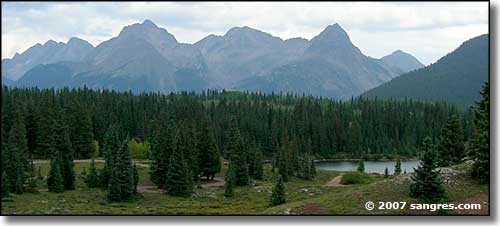
The Grenadiers and Needles, from Molas Lake
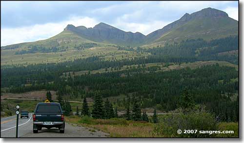
Looking southwest, near Molas Lake
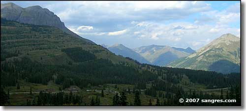
Looking north at Molas Lake
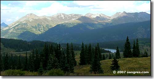
Kendall Mountain to the north, from Molas Pass
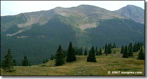
Snowdon Peak (13,077')
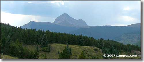
Looking west at Molas Pass
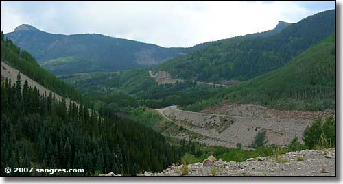
Lime Creek area, south of Molas Pass
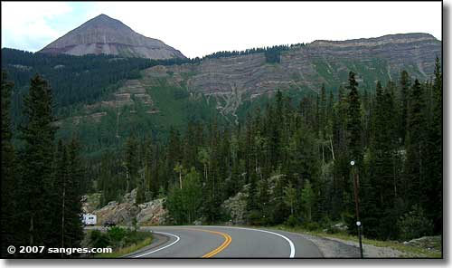
More striated rock
To return, use the Back button in your browser.
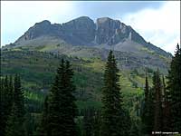 Sultan Mountain (13,370') |
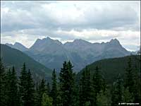 The Needle Mountains, to the east |
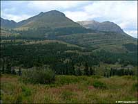 Just south of Molas Pass |
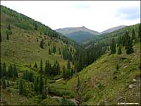 Lime Creek |
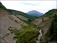 Lime Creek |
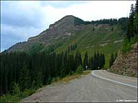 Engineer Mountain, Coal Bank Pass |
