
San Juan Skyway, Placerville to Ridgway

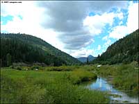
Looking southwest, just northeast of Placerville
Coming out of Placerville, the San Juan Skyway follows State Route 62 northeast, over the Dallas Divide to Ridgway. I came through here in late September as the leaves were turning. While the countryside was gorgeous, the road was busy: this is one of the primary routes out of Telluride to the rest of the world.
The rise to the Dallas Divide was gradual, no real hills here. Dallas Divide is only 8,970' high, so no great changes in elevation either(not like the Skyway between Ouray and Durango). Most of this route is across private land: big ranches, a few old homesteads, very few houses or other buildings along the way. But lots of great rock outcroppings all through Leopard Canyon, which is probably one-third of the route up from Placerville.
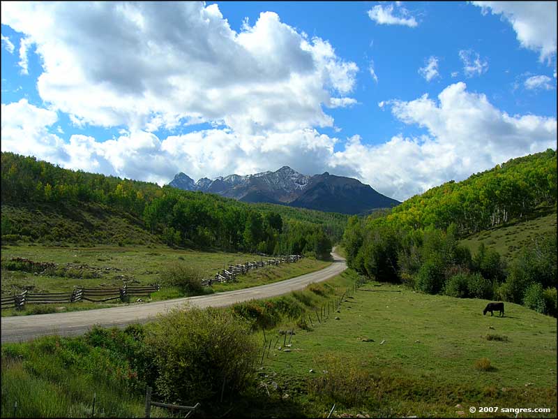
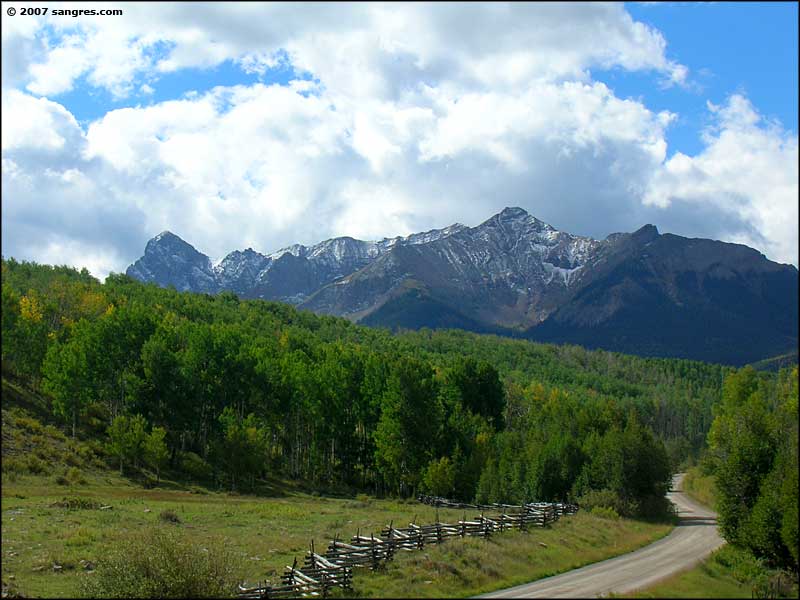
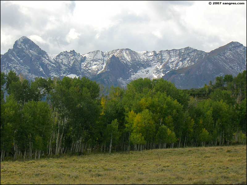
The only thing remarkable about the Dallas Divide area is that view to the south: Mt. Sneffels and all that glacier-carved rock sticking up. As a sometimes climber, I could only look and drool. The western half of that rock is part of the Mt. Sneffels Wilderness Area. East of Mt. Sneffels, though, there are some roads that go almost to the bottom of the rockface in Yankee Basin and there are several good hiking trails that continue on from there. Maybe next year...
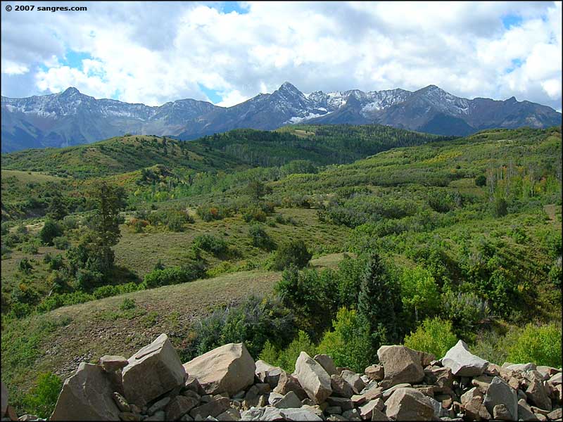
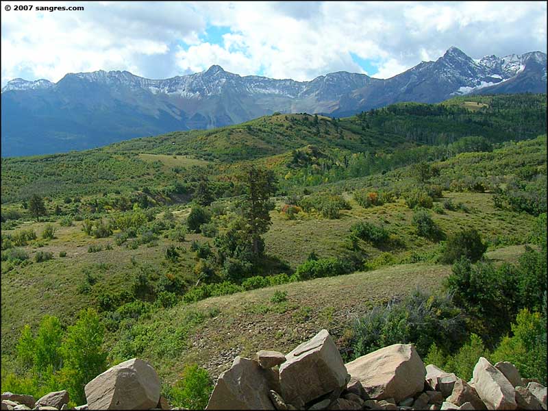
From Dallas Divide east to Ridgway, this is ranch land with big hay fields and pasture all around. There are good views of the San Juans to the east and of Cimarron Ridge to the northeast.

Lots and lots of striated sandstone

Lots of variation in the colors of rock

Mt. Sneffels Wilderness, just east of the Dallas Divide

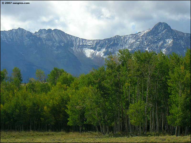
Mt. Sneffels (14,150') on the right

The view south from just west of Ridgway

Looking east to the San Juan Mountains

Cimarron Ridge, northeast of Ridgway

Looking southwest at the outskirts of Ridgway
To return, use the Back button in your browser.
 Looking southwest in Leopard Canyon |
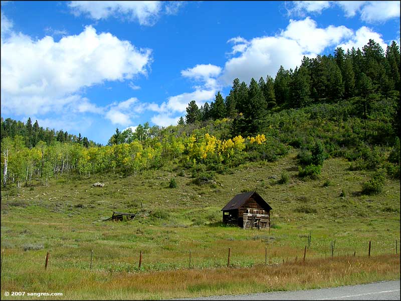 An old cabin |
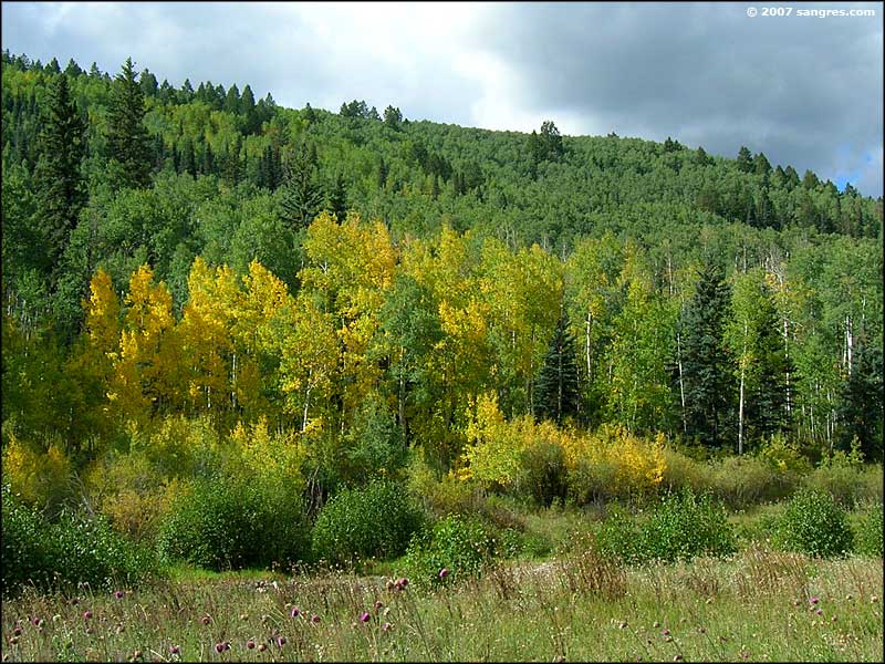 Leaves are changing |
 Just west of the Dallas Divide |
 A closer view |
 Just east of the Dallas Divide |
 Mt. Sneffels Wilderness |
 From near West Dallas Road |
 From near West Dallas Road |
