Raggeds Wilderness
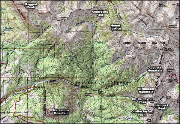
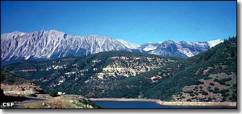
Prominent rocky slopes rising to a serrated ridge give the Raggeds Wilderness its very appropriate name. Ragged Mountain in the northern half rises to 12,094 feet, but other scenic peaks rise higher. While the Raggeds contains numerous creeks and small lakes, one of the more scenic areas is where Anthracite Creek passes through the deep Dark Canyon.
Another very scenic area is Oh-Be-Joyful Pass (11,740 feet), with the long sweep of Oh-Be-Joyful Creek Valley below it. You'll have to ford the Slate River (and this can be lots of fun during spring and summer runoff) to access the seven miles of the Oh-Be-Joyful Pass Trail. A dense pine and fir forest covers the creek bottoms. Every fall, you'll see large unbroken expanses of aspens blazing in shimmering yellow with rock bands of gray, red, and black rising above the green and gold carpet of the forest.
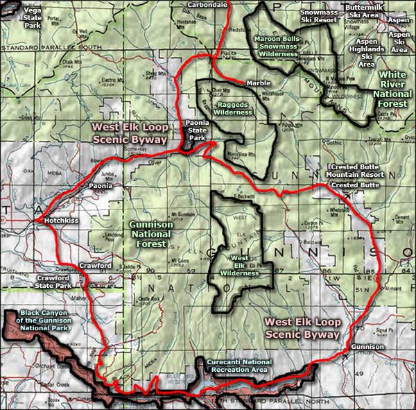
Raggeds Wilderness is about 65,300 acres straddling the ridge between the Gunnison and White River National Forests. Elevations range from 7,000' to about 13,000'. There are more than 90 miles of constructed foot and horseback trails in this Wilderness. Some points of interest are: Dark Canyon, Chair Mountain, Marcellina Mountain, Mount Justice, and Treasury Mountain.

Raggeds Wilderness map

Raggeds Wilderness area map
Black Canyon of the Gunnison National Park - Curecanti National Recreation Area
Paonia State Park - Crawford State Park - Vega State Park - Crested Butte Mountain Resort
Snowmass Ski Resort - Aspen Highlands Ski Area - Aspen Mountain Ski Area - Buttermilk Ski Area
National Park Service Sites - BLM Sites - National Wilderness Areas - Unique Natural Features
Outdoor Sports & Recreation - Ski & Snowboard Areas - Photo Galleries - Colorado Mountains

