 |
Axolotl Lakes Recreation Area |
 |
|
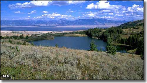
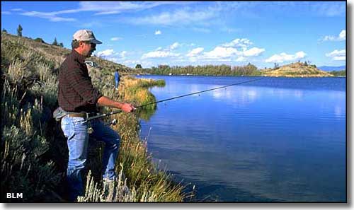
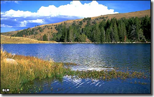
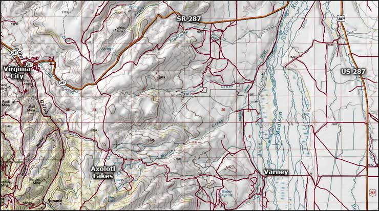
The Axolotl Lakes are in an area of grasslands, meadows, forests and numerous small lakes southeast of Virginia City off of County Road 249 (the Varney Road). In addition to the excellent fishing, the area offers hiking, horseback riding, snowmobiling and cross-country skiing. There's a lot of wildlife out here, too, including grizzly bears: it's highly recommended that you store your food properly and carry bear spray. County Road 249 travels between SR 287 and US 287 south of Ennis. Between Virginia City and Ennis on SR 287, turn south on CR 249 and go 7-8 miles. At Shining Mountains Loop Road, turn west and follow the signs to the Axolotl Lakes Recreation Area. Between Ennis and Cameron on US 287, turn west at the road to Varney Bridge Recreation Area (CR 249) and go across the Madison River. The road will go right (north), follow it until you meet the Shining Mountains Loop Road, then turn west and follow the signs to Axolotl. In the area of the Axolotl Lakes Recreation Area there are some commonly used pull-outs but there are no developed parking areas. The county roads can be great in excellent weather but at any other time: beware! |
   Axolotl Lakes Recreation Area area map |
|
|
 |
| Index - Arizona - Colorado - Idaho - Montana - Nevada - New Mexico - Utah - Wyoming National Forests - National Parks - Scenic Byways - Ski & Snowboard Areas - BLM Sites Wilderness Areas - National Wildlife Refuges - National Trails - Rural Life Advertise With Us - About This Site - Privacy Policy |
| Photos of the Axolotl Lakes are courtesy of the Bureau of Land Management Map courtesy of National Geographic Topo! Text Copyright © by Sangres.com. All rights reserved. |