 |
Big Hole River Recreation Sites |
 The Big Hole River |
|
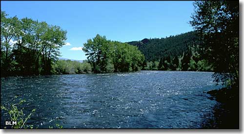
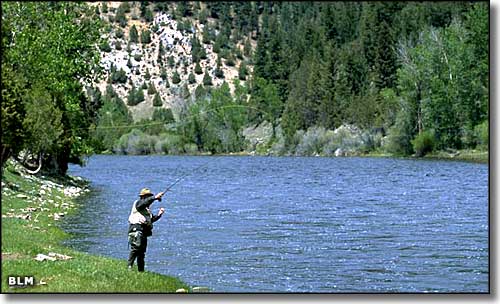
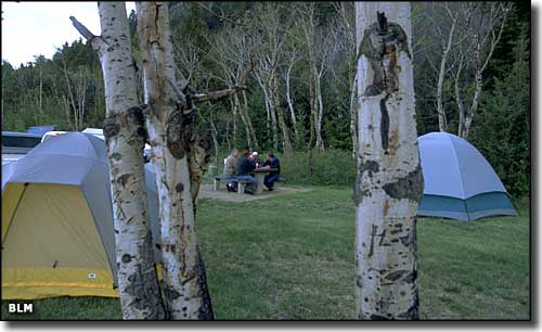
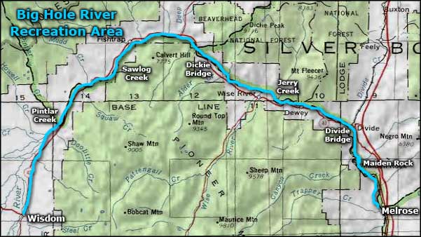
Along a 73-mile stretch of the Big Hole River between Melrose and Wisdom, you'll find 9 small recreation sites managed by the Bureau of Land Management. The Big Hole River in this area offers excellent float boating and blue-ribbon trout fishing. Beginning at Wisdom and heading east, these 9 BLM sites are: Pintler Creek, Sawlog Creek, East Bank, Dickie Bridge, Jerry Creek Bridge, Divide Bridge Campground, Divide Bridge, Maiden Rock East, and Maiden Rock I. At Pintler and Sawlog Creeks there is parking space only. East Bank offers picnic tables, fire rings, restrooms, gravelled parking area, a boat ramp and an information kiosk. There are 10 campsites with fire rings and picnic tables at Dickie Bridge, plus restrooms and an information kiosk. Jerry Creek Bridge offers restrooms, picnic tables, fire rings, gravelled parking, a boat ramp and an information kiosk. There are 21 campsites at Divide Bridge Campground, with fire rings and picnic tables, rest rooms, drinking water, night lights, a volunteer campground host, a boat ramp and an information kiosk. The Divide Bridge boat ramp, picnic area, restrooms and information kiosk are for day-use only. Maiden Rock East offers a parking area and restrooms only. Maiden Rock I has restrooms, parking and a boat ramp. Everything is free except the Divide Bridge Campground: $6 per night for camping with a 14-day stay limit. The fee is collected from mid-May to mid-September. The fishing access sites are free and open year-round. |
  Camping at the Divide Bridge Campground  Big Hole River Recreation Sites area map |
|
|
 |
| Index - Arizona - Colorado - Idaho - Montana - Nevada - New Mexico - Utah - Wyoming National Forests - National Parks - Scenic Byways - Ski & Snowboard Areas - BLM Sites Wilderness Areas - National Wildlife Refuges - National Trails - Rural Life Advertise With Us - About This Site - Privacy Policy |
| Photos of the Big Hole River Recreation Sites courtesy of the Bureau of Land Management Map courtesy of National Geographic Topo! Text Copyright © by Sangres.com. All rights reserved. |